Girish Mahajan (Editor)

Nova Scotia Route 215

Updated on
Edit
Like
Comment
Share on FacebookTweet on TwitterShare on LinkedInShare on Reddit
Counties:
  
Hants

Province
  
Nova Scotia

Length
  
120 km

County
  
Hants County

Nova Scotia Route 215

West end:
  
Trunk 1 in Newport Corner

East end:
  
Trunk 2 in Shubenacadie

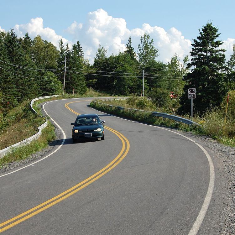
Route 215 is collector road in the Canadian province of Nova Scotia.

Contents

Map of NS-215, Nova Scotia, Canada

It is located in Hants County, connecting Shubenacadie at Trunk 2 with Newport Corner at Trunk 1.

Portions of the road are included in the Glooscap Trail and the Fundy Shore Ecotour.

A short portion of the road in the community of Brooklyn is duplexed with Trunk 14.

Geographic regions

The road passes through the following geographic regions:

  • the Shubenacadie Valley
  • the shore of the Bay of Fundy, specifically the southern shore of Cobequid Bay and the Minas Basin
  • the lower portion of the Avon Valley as it follows the east bank of the Avon River
  • Communities

    Communities in italics are served by the route indirectly.

  • Newport Corner
  • Brooklyn
  • Belmont
  • Upper Burlington
  • Centre Burlington
  • Cogmagun River
  • Riverside
  • Lower Burlington
  • Summerville
  • Kempt Shore
  • Cheverie
  • Bramber
  • Cambridge
  • Goshen
  • Pembroke
  • Walton
  • East Walton
  • Tenecape
  • Moose Brook
  • Minasville
  • Burntcoat
  • Noel
  • Lake Road
  • East Noel
  • Northfield
  • Densmore Mills
  • Noel Shore
  • Lower Selma
  • Stirling Brook
  • Selma
  • Maitland
  • South Maitland
  • Urbania
  • Admiral Rock
  • Rines Creek
  • Shubenacadie
  • Parks

  • Caddell Rapids Provincial Park
  • Anthony Provincial Park
  • Smiley’s Provincial Park
  • History

    Highway 215 was formerly designated Trunk Highway 15.

    References

    Nova Scotia Route 215 Wikipedia