
Existed: 1978 – present Constructed 1978 | ||
 | ||
East end: | ||
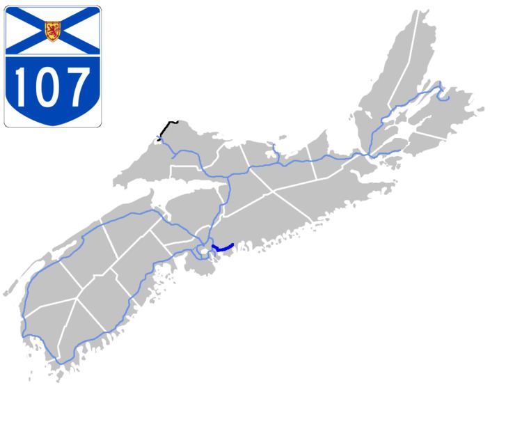
Highway 107 in Nova Scotia runs through the eastern suburbs of the Halifax Regional Municipality, from the Burnside Industrial Park in Dartmouth to an intersection with Trunk 7 in Musquodoboit Harbour. It is 31 kilometres (19 mi) long, and is mostly two lanes and controlled access.
Contents
Map of NS-107, Halifax, NS, Canada
The highway's western end is at the Dartmouth intersection of Akerley Boulevard and Burnside Drive. From there it turns northeast to Highway 118, then southeast on Forest Hills Parkway Extension to Westphal. From there it runs along with Trunk 7 (Main Street Dartmouth, Nova Scotia) through the Sunset Acres and Cherry Brook subdivisions. Near Preston 107 breaks apart from 7 again, as it continues to the east bypassing Preston, Lake Echo, Porters Lake and Head of Chezzetcook before ending at Trunk 7 near Musquodoboit Harbour.
Future
There are plans in the near future to extend Highway 107 from Akerley Boulevard to the east side of Anderson Lake and from there either turn east to connect to the Bedford Bypass or continue north to connect to Duke Street/Glendale Avenue near Highway 102 exit 4C. This extension is also known as the Burnside Expressway. Construction is expected to take place within the next few years. This extension would allow commuters from Halifax/Burnside heading to Sackville to bypass the Bedford Bypass and Windmill Road and instead go up to Burnside Drive and connect directly into Sackville.