Established 1935 Elevation 330 m | Area 584.4 km² | |
 | ||
Website www.dnr.state.mn.us/state_forests/sft00036/index.html EPA Classification Northern Lakes and Forests WWF classification Western Great Lakes forests | ||
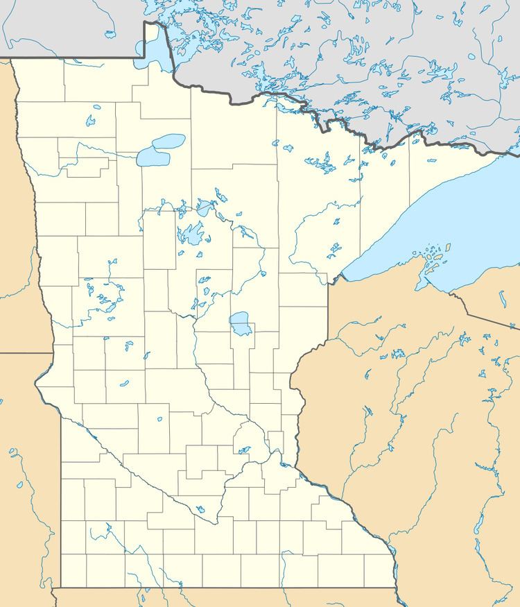
The Northwest Angle State Forest is a state forest located in Lake of the Woods County, Minnesota. The name of the forest is derived from its location near the Northwest Angle, the northernmost point of the contiguous United States. The forest borders the Canadian provinces of Manitoba and Ontario, and the Red Lake Indian Reservation. The forest is managed by the Minnesota Department of Natural Resources.
Map of Northwest Angle State Forest, Angle Township, MN 56711, USA
Tree species of the forest are Tamarack, Black Spruce, Eastern White Pine, Red Pine, Northern Whitecedar, and Paper Birch. Popular outdoor recreational activities are hunting, fishing and boating on Lake of the Woods, birdwatching, and dispersed camping. Trails are designated for hiking; all motorized recreation is prohibited, with the exception of snowmobiling in the wintertime.
