
Established 2011 Use Bicycling, hiking | Length 130 mi (209 km) Trail difficulty Moderate | |
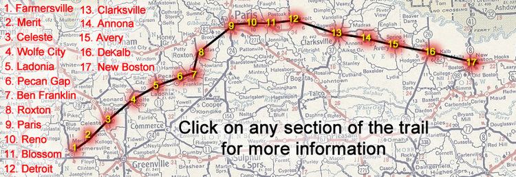 | ||
Trailheads New Boston (Eastern), Farmersville (Western) | ||
The northeast texas trail
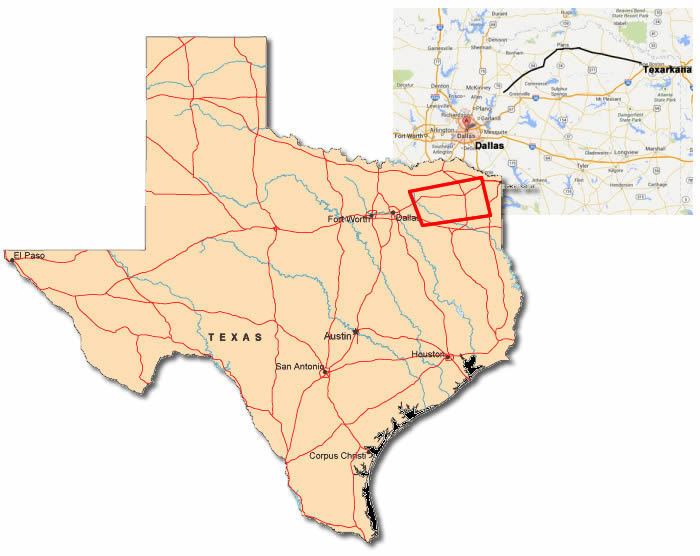
The Northeast Texas Trail (NETT) is a planned 130+-mile multi-use trail (currently over 70 miles are open) along the route, following alongside Texas State Highway 82 and Texas State Highway 34. When complete, the trail will connect 19 cities spread over seven counties, stretching from the edge of the Dallas–Fort Worth metroplex to the Texarkana metropolitan area along the Arkansas border.
Contents
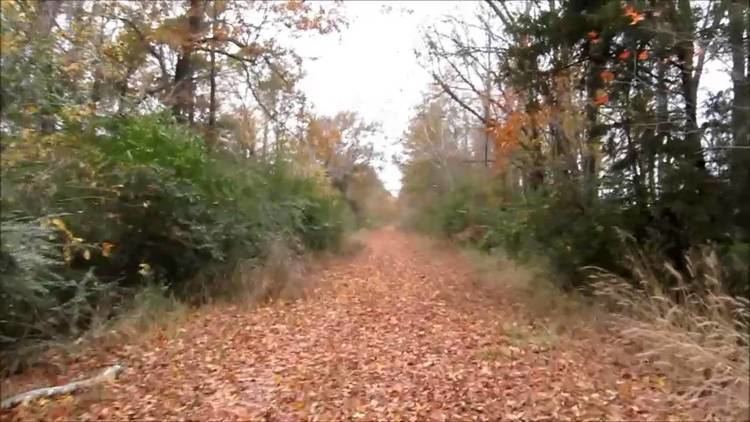
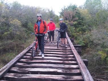
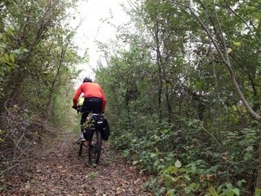
When completed the Northeast Texas Trail will be the longest hike/bike and equestrian trail in Texas and the fourth-longest in the United States. The trail is being designed to provide access for hikers, mountain bicyclists, and equestrians. It will be accessible through trailheads running through cities along the trail, while the trail will extend into more remote areas between the cities. The first trail section, the 2.36 multi-use portion "Trail de Paris" was dedicated in 2004.
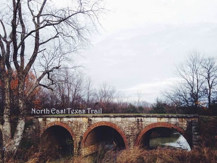
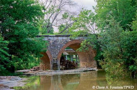
Scattered along the trail are several creeks and over one hundred rail bridges, including a crossing of the Sulphur River and many branches of Kickapoo Creek.
History
In the late 1990s, two railroads—the Union Pacific Railroad and the Chaparral Railroad decided to cease active service and publicized their railroad corridors availability for rail banking through the Surface Transportation Board of the United States Department of Transportation. Three private organizations Rails-to-Trails Conservancy (RTC) 1997, Greater Paris Development Foundation (GPDF) 1996, and Chaparral Rails to Trails Inc. (CRT) 1995.
This adaptive re-use of unused railroad tracks unifies many northeast Texas counties and cities and provides a major recreational amenity for the more than 47,500 people who live and work within a mile of the Trail. The new, partly completed tail attracts pedestrians and nature-lovers, both Texas residents and visitors.
Trail by County
The section of the trail that runs through Collin, Hunt and Fannin counties, from the western trailhead, Farmersville to Pecan Gap is open, as is a large section from Lamar County to Red River County (Paris to Clarksville) has been cleared, and currently parts of the NETT trail are being rerouted to pass around uncleared portions of the trail. Large sections of the trail through Collin, Fannin, Hunt, Lamar and Red River counties have been cleared. Much of the remaining mileage requires additional work clearing the trail over overgrowth.
Collin County
Hunt County
Fannin County
Lamar County
Red River County
Bowie County
Northeast Texas Trail Coalition
The Northeast Texas Trail Coalition is the 501(c)(3) nonprofit organization working on the Northeast Texas Trail. It partners with governments, nonprofit land trusts, and volunteer organizations in all seven Northeast Texas counties to help protect and preserve, plan, construct, and promote the Northeast Texas Trail. The coalition aims to complete clearing and grading of the entire 130 miles of the NETT in 2015.
Five of the seven expansions have been the result of the Friends of the Trail partnering with Lamar County, City of Reno, City of Blossom and 3 times with the City of Paris to write the application and be awarded Texas Parks and Wildlife’s (TPWD) Texas Recreational Trails Fund grants. The Cities of Farmersville, Clarksville, and New Boston have also been successful in obtaining a TPWD grants to construct trails on their sections of the NETT corridor.
The Council meets monthly and quarterly rotating between cities along and supporting the trail.