
Country Canada Time zone MST (UTC-7) Area 329 km² | Elevation 490 m Local time Sunday 5:00 AM | |
 | ||
Weather -17°C, Wind NW at 13 km/h, 80% Humidity | ||
North Star is a hamlet in northern Alberta, Canada within the County of Northern Lights. It is located on the Mackenzie Highway (Highway 35), approximately 7 kilometres (4.3 mi) south of Manning. It has an elevation of 490 metres (1,610 ft).
Contents
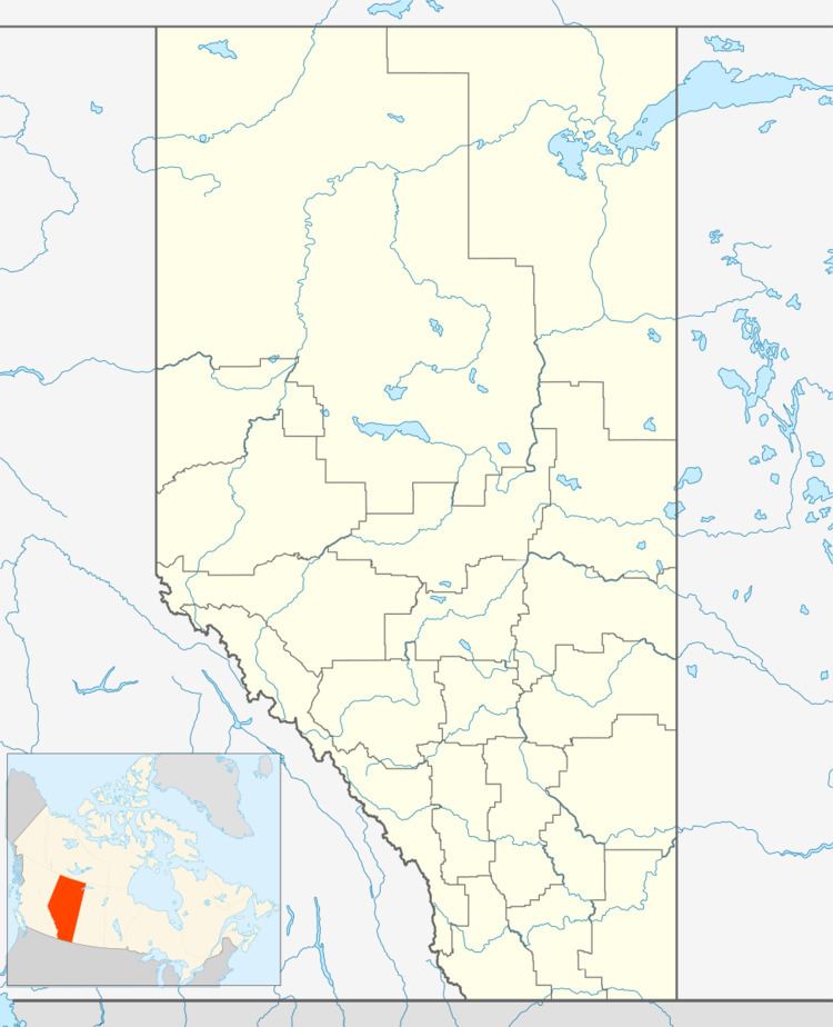
Map of North Star, AB, Canada
The hamlet is located in census division No. 17 and in the federal riding of Peace River.
Demographics
Statistics Canada has not recently published a population for North Star.
However, Industry Canada shows that North Star's greater rural area had a total population of 1,546 living in 622 dwellings in 2001. With a land area of 329.0 km2 (127.0 sq mi), its greater rural area has a population density of 17.0/km2 (44/sq mi).
References
North Star, Alberta Wikipedia(Text) CC BY-SA