
Country United States Time zone CST (UTC-6) Area 140.9 km² Population 983 (2010) | Established November 8, 1859 Elevation 199 m Local time Sunday 4:00 AM | |
 | ||
ZIP codes 61910, 61911, 61931, 61938, 61951 Weather -2°C, Wind SW at 3 km/h, 94% Humidity | ||
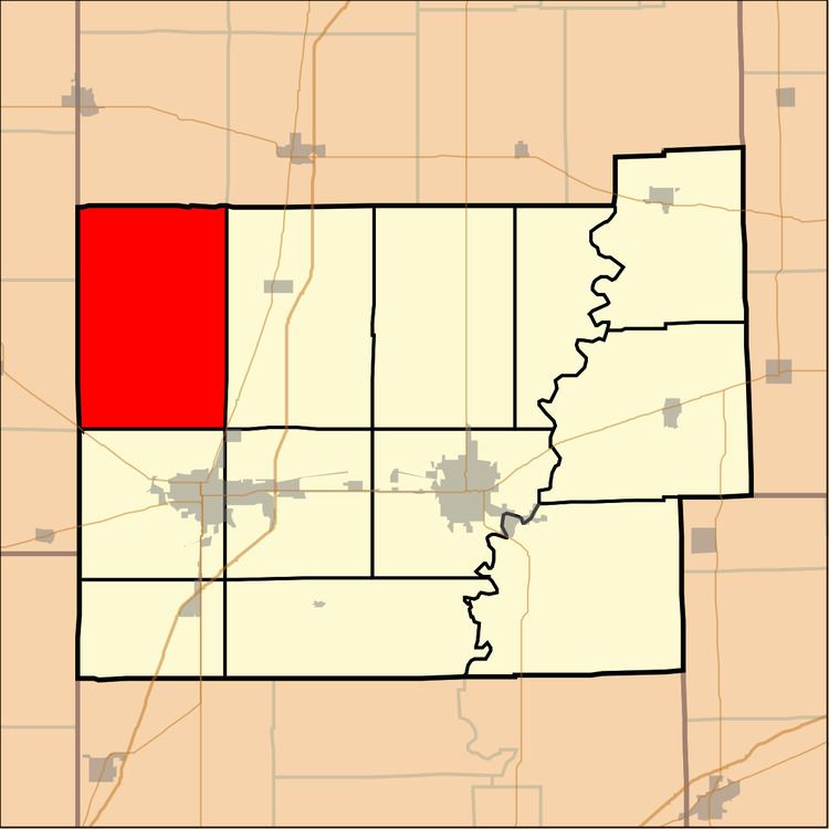
North Okaw Township is one of twelve townships in Coles County, Illinois, USA. As of the 2010 census, its population was 983 and it contained 377 housing units. The Kaskaskia River flows through the township. The Cook Mills Consolidated oil field is within this township. The township changed its name from Okaw Township on May 7, 1860.
Contents
- Map of North Okaw Township IL USA
- Geography
- Unincorporated towns
- Cemeteries
- Major highways
- School districts
- Political districts
- References
Map of North Okaw Township, IL, USA
Geography
According to the 2010 census, the township has a total area of 54.41 square miles (140.9 km2), of which 54.37 square miles (140.8 km2) (or 99.93%) is land and 0.04 square miles (0.10 km2) (or 0.07%) is water.
Unincorporated towns
(This list is based on USGS data and may include former settlements.)
Cemeteries
The township contains five cemeteries: Brann, Mount Zion, Pleasant Grove, Smith and Zoar.
Major highways
School districts
Political districts
References
North Okaw Township, Coles County, Illinois Wikipedia(Text) CC BY-SA