
- elevation 4,811 ft (1,466 m) - elevation 2,940 ft (896 m) Basin area 1,966 km² | Basin area 1,966 km² | |
 | ||
- location Cheyenne County, Colorado | ||
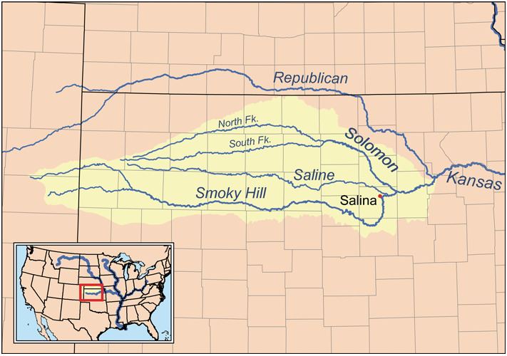
The North Fork Smoky Hill River is a river in the central Great Plains of North America. A tributary of the Smoky Hill River, it flows from eastern Colorado into western Kansas.
Contents
Map of North Fork Smoky Hill River, Russell Springs, KS, USA
GeographyEdit
The North Fork Smoky Hill River rises in the High Plains region of the Great Plains. Its source lies in extreme northern Cheyenne County, Colorado 29 miles (47 km) west-northwest of Cheyenne Wells, the county seat. From there, the river flows east then east-northeast into Kansas. In south-central Sherman County, it has been dammed to form a small reservoir, Sherman State Fishing Lake. A few miles east of the reservoir, the river turns southeast and continues to its confluence with the Smoky Hill River in central Logan County 5 miles (8.0 km) west of Russell Springs.
The river has a total length of 195 miles (314 km) and drains an area of 759 square miles (1,970 km2).
HydrologyEdit
The river is intermittent with water flowing only during and after rains.