
- elevation 3,120 ft (951 m) - min 190 cu ft/s (5 m/s) Discharge 84.27 m³/s Source Clark Range | - average 2,976 cu ft/s (84 m/s) Length 246 km Basin area 4,040 km² | |
 | ||
- max 69,100 cu ft/s (1,957 m/s) Similar Rocky Mountains, Hungry Horse Dam, Whitefish Range, Livingston Range, Swan River | ||
Spider on the north fork flathead river montana
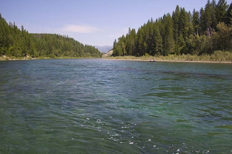
The North Fork Flathead River (Ktunaxa: kqaskanmituk ) is a 153-mile (246 km) river flowing through British Columbia, Canada, south into the U.S. state of Montana. It is one of the three primary forks of the Flathead River, the main inflow of Flathead Lake and a tributary of the Columbia River via the Clark Fork River and the Pend Oreille River. The river is sometimes considered the upper headwaters of the Flathead River, although the North Fork is its official name in the U.S. Other naming conventions for the river include Flathead River - North Fork, North Fork of Flathead River, and North Fork of the Flathead River.
Contents
- Spider on the north fork flathead river montana
- Map of North Fork Flathead River Montana USA
- Wild and Scenic River designationEdit
- Dam proposalEdit
- References
Map of North Fork Flathead River, Montana, USA
The river originates in a valley northeast of Lake Koocanusa in the Clark Range, and flows west. It then meets the Continental Divide and turns south, winding through a broad glacial valley. The river then crosses the Canada–US border into the state of Montana, where it begins to delineate the western boundary of Glacier National Park. Roughly following the "inner" and "outer" North Fork Roads and Montana Secondary Highway 486, the river winds southwest past Kintla Lake, Bowman Lake, Quartz Lake, Logging Lake, and Lake McDonald, then turns west and south into a narrower valley before joining the Middle Fork Flathead River near the southwestern entrance of the national park, several miles northeast of Columbia Falls. Less than 6 miles (9.7 km) below this confluence, the combined river joins the South Fork Flathead River, forming the main Flathead River.
Wild and Scenic River designationEdit
Although the North Fork is designated as a National Wild and Scenic River (1975) in the United States, its greater length in BC (31 miles (50 km), not including headwaters forks) is not. Water in the BC section remains relatively pure as there are no permanent residents or livestock in this drainage north of the border.
Dam proposalEdit
In the 1940s the Glacier View Dam was proposed, which would have flooded much of the river's valley between Glacier View Mountain and the Canada–US border. Supported by Flathead Valley interests, the dam and reservoir were opposed by the National Park Service, as between 10,000 acres (4,000 ha) and 20,000 acres (8,100 ha) of park lands would have been flooded. The proposed dam was cancelled by 1950.