Country Canada Census division 11 Time zone MST (UTC-7) Elevation 752 m | Region Edmonton Region Postal code span T8G Local time Friday 8:34 AM | |
 | ||
Weather -1°C, Wind S at 8 km/h, 98% Humidity | ||
Via 1 north cooking lake ab 24 dec 2013
North Cooking Lake is a hamlet in Alberta, Canada within Strathcona County. It is located on Highway 630 and on the northeast shore of Cooking Lake, approximately 24 kilometres (15 mi) southeast of Sherwood Park. It is 4 kilometres (2.5 mi) south of the Waskehegan Staging Area entrance to Cooking Lake-Blackfoot Grazing, Wildlife Provincial Recreation Area.
Contents
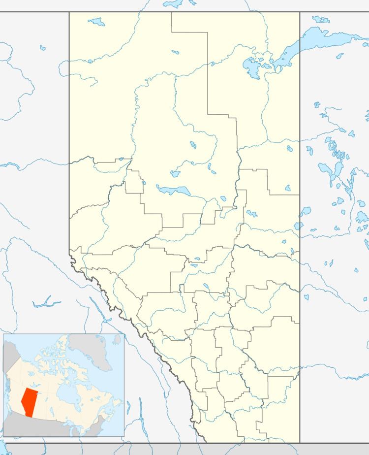
Map of North Cooking Lake, AB, Canada
Due to the multiple lakes nearby with sandy beaches, North Cooking Lake was known as one of Edmonton's recreation and resort spots in the early 1900s (decade). It was so popular that special trains operated to bring vacationers to the North Cooking Lake Station where steamers and motor boats delivered them to different resorts. Once a teeming playground, North Cooking Lake is now a peaceful residential retreat.
Demographics
As a designated place in the 2016 Census of Population conducted by Statistics Canada, North Cooking Lake recorded a population of 31 living in 9 of its 9 total private dwellings, a change of 34.8% from its 2011 population of 23. With a land area of 0.41 km2 (0.16 sq mi), it had a population density of 75.6/km2 (195.8/sq mi) in 2016.
The population of North Cooking Lake according to Strathcona County's 2015 municipal census is 59.
