
Formed January 1, 1999 Postal Code K0J 1T0 Population 2,873 (2011) | Time zone EST (UTC-5) Website www.nalgonawil.com Local time Friday 7:18 AM Area code 613 | |
 | ||
Weather 1°C, Wind E at 13 km/h, 68% Humidity | ||
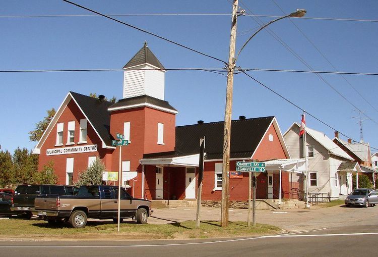
North Algona Wilberforce is a township in Renfrew County, Ontario, Canada. It has a population of 2,873. The township was formed in 1999 when the North Algona and Wilberforce townships were amalgamated.
Contents
Map of North Algona Wilberforce, ON, Canada
Wilberforce Township was named in 1851, to honour William Wilberforce.
Communities
The township contains the communities of Allans Corners, Beef Town, Budd Mills, Crooked Rapids, Deacon, Dore Bay, Duquette's Farm, Fourth Chute, Germanicus, Golden Lake, Green Lake, Higginson's Hill, Lake Dore, Lett's Corners, Mink Lake, Mud Lake, Rankin, Slabtown, Trevor Ouellette Lake and Woito.
Transportation
Canadian National Railway served Golden Lake on the Locksley subdivision. Rail service was discontinued in 1961.
Demographics
Population trend:
Mother tongue:
References
North Algona Wilberforce Wikipedia(Text) CC BY-SA