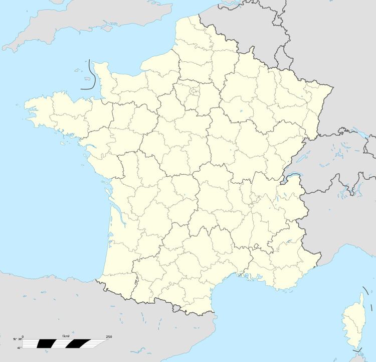
Area 5.7 km² | Local time Friday 12:18 PM | |
 | ||
Intercommunality Communauté de communes Artois-Lys Weather 17°C, Wind SW at 21 km/h, 64% Humidity | ||
Norrent-Fontes is a commune in the Pas-de-Calais department in the Hauts-de-France region of France.
Contents
Map of 62120 Norrent-Fontes, France
Geography
Norrent-Fontes is situated some 10 miles (16.1 km) northwest of Béthune and 33 miles (53.1 km) west of Lille, at the junction of the D94 and D91 roads. The A26 autoroute passes through the commune.
History
Known to the Romans as Norremum, later as Norrem, in 1211 and then Norrenc in 1240. The hamlet of Fontes was known as Adfondenis in 654. After the French Revolution, the commune was created from the village of Norrent and the three hamlets of Fontes, Goulay and Malznoi.
Between the two world wars, the commune was home to one of the biggest military airfields in northern France. Abandoned in 1940, the site was reused by the Germans to launch V1 missiles towards London, in 1944. The remains are still visible from the Rely road.
