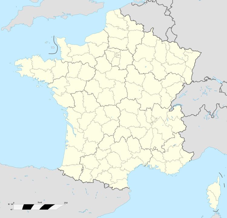
Area 4.83 km² Population 371 (1999) | Canton Norrent-Fontes Time zone CET (UTC+1) Local time Monday 3:39 PM | |
 | ||
Weather 17°C, Wind E at 16 km/h, 48% Humidity | ||
Rely is a commune in the Pas-de-Calais department in the Hauts-de-France region of France.
Contents
Map of 62120 Rely, France
Geography
Rely is situated some 12 miles (19.3 km) west of Béthune and 34 miles (54.7 km) southwest of Lille, at the junction of the D341 (an old Roman road, the Chaussee Brunehaut) and the D90 road. The A26 autoroute passes by the commune.
History
The village of Rely existed during the Gallo-Roman period and was located on a Roman road, the ‘’Chausée (carriageway) Brunehaut’’, that connected Thérouanne, Arras and Boulogne-sur-Mer.
Many villages on or near this Brunehaut road have the same origins, such as Blessy, Estrée-Blanche, Ligny, Auchy-au-Bois and Ferfay. Originally small Roman stations where troops or convoys came to rest and eat on their travels between Rome, Arras, Thérouanne and Boulogne, these stations then developed and became the villages of today.
The castle, built on a hill surrounded by a wide and deep moat served as a refuge against the successive invasions and plundering of the Normans, Flemish and Spanish armies. Rely has followed the fate of the volatile Artois region over the centuries:
