
Time zone CET/CEST (UTC+1/+2) Area 3.15 km² Local time Friday 10:18 AM Dialling code 0671 | Elevation 135 m (443 ft) Postal codes 55585 Population 1,411 (31 Dec 2008) Postal code 55585 | |
 | ||
Weather 13°C, Wind SW at 14 km/h, 62% Humidity | ||
Norheim (in the local speech Norem) is an Ortsgemeinde – a municipality belonging to a Verbandsgemeinde, a kind of collective municipality – in the Bad Kreuznach district in Rhineland-Palatinate, Germany. It belongs to the Verbandsgemeinde of Rüdesheim, whose seat is in the like-named town. Norheim is a state-recognized tourism community (Fremdenverkehrsort). and a winegrowing village.
Contents
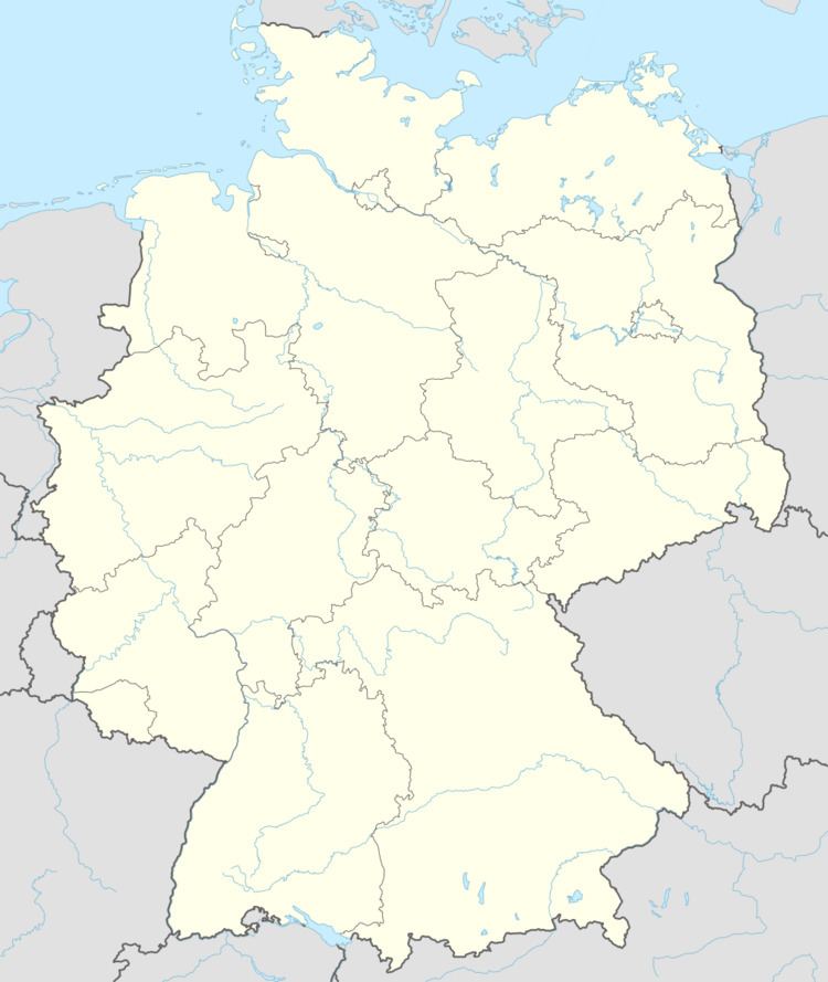
- Map of Norheim Germany
- Location
- Neighbouring municipalities
- Constituent communities
- Climate
- History
- Population development
- Religion
- Municipal council
- Mayors
- Mayor
- Coat of arms
- Town partnerships
- Buildings
- Catholic church
- Mills
- Clubs
- Transport
- Winegrowing
- Famous people associated with the municipality
- References
Map of Norheim, Germany
Location
Norheim lies in the Nahe valley near the Rheingrafenstein with its castle, and near the Rotenfels. Norheim’s elevation is 135 m above sea level and its municipal area measures 3.15 km².
Neighbouring municipalities
Clockwise from the north, Norheim’s neighbours are the municipality of Traisen, the town of Bad Münster am Stein-Ebernburg and the municipalities of Niederhausen and Hüffelsheim, all of which likewise lie within the Bad Kreuznach district.
Constituent communities
Also belonging to Norheim are the outlying homesteads of Brunnenhof, Buchenländerhof, Wasserkraftwerk, Kronenhof and Haus am Tunnel.
Climate
Norheim is especially advantageous for its climate. Framed as it is by crags and wooded mountains, its location brings it little rain and a mild climate. Moreover, the soils that have formed from the weathering of the volcanic crags represent the best prerequisites for Norheim’s winegrowing.
History
At the foot of the porphyry massif known as the Rotenfels, Norheim has a 1,200-year-long history as the oldest wine village on the Nahe, at least going by historical records. In 766, Norheim had its first documentary mention as Narheim in pago Nahgowe (“Norheim in the Nahegau country”) when the Frankish free noble Adalger sold his landhold, which lay in Narheim, for two pounds of silver to Lorsch Abbey on the Bergstraße. The record of this is contained in the abbey’s old directory of holdings, the Lorsch codex (Codex Laureshamensis), document no. 2007. The name Narheim may have had its roots in nava, a Celtic word for “flowing water”. Over the years, the river’s name underwent various changes: Naba, Naha, Nae, Noh, Nahe. Several times over the centuries, Norheim’s overlords changed as secular princes replaced those who had gone before. Adalger’s old landhold was exchanged by Lorsch in 962 with Saint Maximin’s Abbey in Trier. In 1190, the Lords of Bolanden were enfeoffed with the jurisdiction and holdings by the Holy Roman Empire. By way of the Rhinegraves and the Counts of Sponheim, the Lords of Sickingen at Castle Ebernburg became the village’s rulers in 1440, ruling for more than 300 years. When the last lord of this line died out in 1768, the now heirless fief passed back to the overlord, the Electorate of the Palatinate. After the Napoleonic Wars had ended and after the decisions had been made at the Congress of Vienna in 1815, Norheim became Prussian and was assigned to the Oberamt of Kreuznach.
Population development
Norheim’s population development since Napoleonic times is shown in the table below. The figures for the years from 1871 to 1987 are drawn from census data:
Religion
As at 30 November 2013, there are 1,499 full-time residents in Norheim, and of those, 539 are Evangelical (35.957%), 583 are Catholic (38.893%), 1 is Greek Orthodox (0.067%), 1 is Lutheran (0.067%), 30 (2.001%) belong to other religious groups and 345 (23.015%) either have no religion or will not reveal their religious affiliation.
Municipal council
The council is made up of 16 council members, who were elected by proportional representation at the municipal election held on 7 June 2009, and the honorary mayor as chairman. The municipal election held on 7 June 2009 yielded the following results:
Mayors
Listed in the following table are the known heads of the village and municipality of Norheim. Only four of the Schultheißen are known by name:
Mayor
Norheim’s mayor is Ludwig Wilhelm, and his deputies are Dr. Kai Michelmann, Edgar Petermann and Uwe Sax.
Coat of arms
The municipality’s arms might be described thus: Azure on ground vert, a steed passant argent upon which Saint Martin of Tours of the same cutting with his sword a piece of his cloak gules for a kneeling beggar man of the third.
This scene from Saint Martin’s life appears in many German civic coats of arms. Indeed, Norheim’s arms are not even the only ones in the Bad Kreuznach district to bear this image, with Meddersheim and Rüdesheim an der Nahe likewise bearing arms depicting Martin cutting off a piece of his cloak for a beggar.
Town partnerships
Norheim fosters partnerships with the following places:
Buildings
The following are listed buildings or sites in Rhineland-Palatinate’s Directory of Cultural Monuments:
Catholic church
The Catholic church at Norheim comes in parts (particularly the steeple) from the earlier half of the 13th century. Beginning in 1363, it was incorporated into the Holy Cross Foundation at Mainz. After the Reformation and until 1698, the church was used by Protestants. It was given its Gothic Revival makeover in 1864, while the steeple was made taller in 1911 with the addition of a slated belfry and a pointed, eight-sided spire. The steeple stands at the east and earlier formed the quire. The entrance was broken through likewise in 1911.
Mills
Norheim had three watermills. The oldest was the Witt’sche Mühle, which had its first documentary mention in 1471. It was an Old German channel mill with an undershot waterwheel. Ground there were grain and, according to Adam Karst (1838–1852), also oilseed. Because it was an estate mill (Bannmühle), Norheim villagers had to use it, and no other, to grind their grain. After the Witt’sche Mühle was sold to the miller Krieger, it was shut down in 1833.
The second mill is the Steinsche Mühle (as of 1910 Krugermühle). It stands 20 m below the Witt’sche Mühle and was built in 1722 with the Sickingens’ baronial approval as an allodial mill. Because Norheim villagers were bound to the mill upstream from his, the then owner, Stein, had to seek custom elsewhere, in Traisen and Hüffelsheim. He also bought corn at the Kreuznacher Kornmarkt, also selling the flour there. The Krugermühle was a gristmill with its own millpond and an undershot Zuppinger wheel (a kind of waterwheel invented by the 19th-century Swiss engineer Walter Zuppinger). This mill was run for many years, and was shut down only in 1975. It gained a new lease on life in 1995 when it was fitted with a new waterwheel and an induction generator. Its then projected yearly output was roughly 200 000 kWh
The third mill is the Weidenmühle on the road leading eastwards out of the village. It was built in 1726 by the miller Matthias Schmitt. It was an allodial mill conceded by the Sickingens in which grain was ground. It was driven by an undershot waterwheel. After the Witt’sche Mühle was shut down in the early 19th century, the Weidenmühle was Norheim’s most important mill. It was shut down in 1950, though, when the last miller, Hans Brosius, died.
Clubs
The following clubs are active in Norheim:
Transport
Running through Norheim is Landesstraße 235, which is met in the village centre by Landesstraße 236. Right at this T-junction is the railway station (actually only a halt; the building has been torn down) on the Nahe Valley Railway (Bingen–Saarbrücken). The former highway leads to Bad Münster am Stein-Ebernburg, while the latter leads to Rüdesheim an der Nahe. In both those places are found interchanges onto Bundesstraßen (41 or 48 as the case may be), which lead northeastwards to Bad Kreuznach and the Autobahn A 61 (Koblenz–Ludwigshafen) just beyond.
Winegrowing
Growing in more than 50 ha of vineyards, mainly on south-facing slopes, are grapes that the winemakers make into outstanding wine. The wines from the individual winegrowing locations – Einzellagen – of Kirschheck, Kafels, Oberberg and Dellchen enjoy international reputations.