 | ||
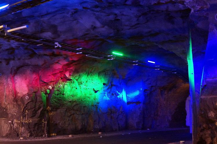
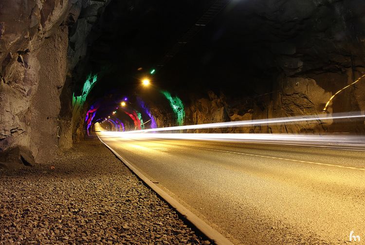
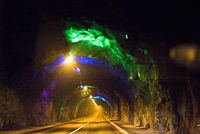
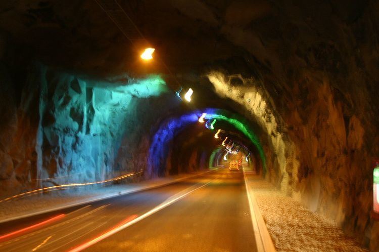
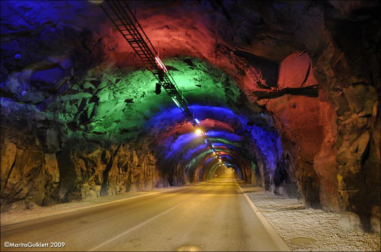
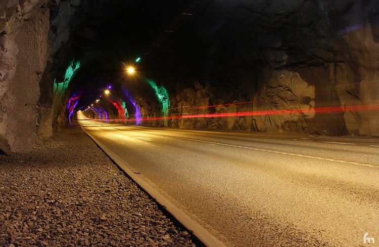
Norðoyatunnilin (The Northern Isles Tunnel) is a two lane road tunnel under the Leirvíksfjørður in the Faroe Islands. It connects the islands Eysturoy and Borðoy. The tunnel is 6.3 km long and goes down to a depth of 150 metres below sea level. The maximum gradient is approximately 6 percent. The tunnel entrances are near the towns of Leirvík, Eysturoy, and Klaksvík, Borðoy. As of 2015, Norðoyatunnilin is the longest tunnel of the Faroe Islands.
History
In 1988 Landsverkfrøðingurin (the national office of public works) carried out a number of seismic investigations in Leirvíksfjørður (the strait between Eysturoy and Borðoy). A year earlier, an engineer had drawn up an overall plan showing alternative sites for constructing tunnels. Further surveys in 1988 confirmed that the tunnel plans were considered to be economically viable. Fifteen years after the first surveys, work began on boring the tunnel between Eysturoy and Borðoy. The official opening of the tunnel was on April 29th 2006.