Topo map USGS Nopah Peak Country United States of America | Elevation 1,941 m | |
 | ||
Similar Kingston Range, Funeral Mountains, Black Mountains, Pahrump Valley, Big Maria Mountains | ||
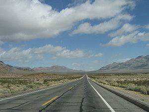
The Nopah Range is located in Inyo County, California, United States, near the eastern border with Nevada.
Contents
Map of Nopah Range, California 92384, USA
GeographyEdit
The mountain range lies east of the adjacent Resting Spring Range, the Owlshead Mountains and lower Death Valley, and are north of the Kingston Range. The Amargosa River is to the west. They are located directly east of Shoshone, California, and the Chicago Valley, northeast of Tecopa, California, southwest of Pahrump, Nevada, and west of Las Vegas, Nevada.
The Nopah Range mountains reach an elevation of 6,395 feet above sea level at Nopah Peak, in the center of the range. The Nopah Range is approximately 26 miles long.
References
Nopah Range Wikipedia(Text) CC BY-SA
