Population abandoned Postcode(s) 6427 Elevation 399 m Postal code 6427 | Established 1896 State electorate(s) Eyre Founded 1925 | |
 | ||
Weather 24°C, Wind E at 24 km/h, 22% Humidity | ||
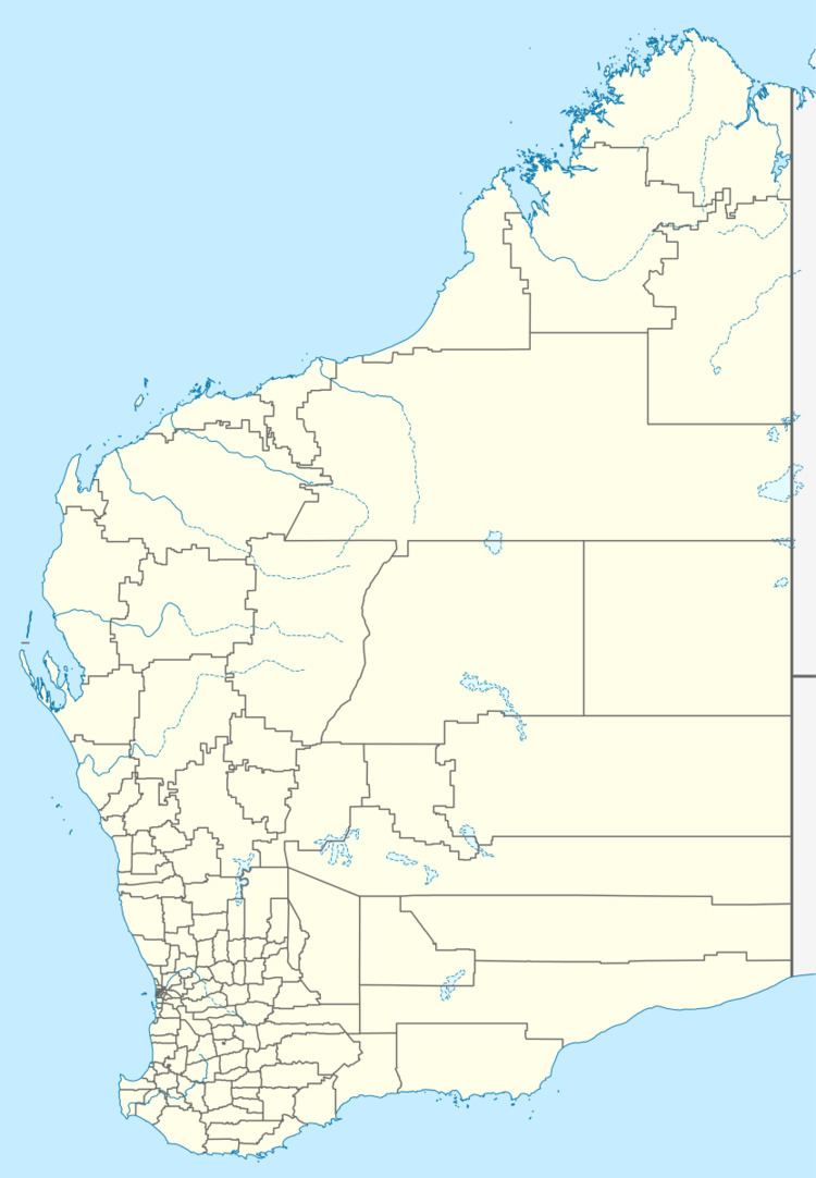
Noongar was a small town located halfway between Burracoppin and Southern Cross on the Great Eastern Highway in the Wheatbelt region of Western Australia.
Noongar originated in 1894 as Siding No. 10 on the Yilgarn Railway from Northam to Southern Cross. A stationmaster's house was constructed in 1896, but was burnt to the ground in 1898. The stationmaster was withdrawn in 1907. The area was largely developed for agricultural purposes by 1924, when the need for a townsite became apparent. Lots were surveyed early in 1925 and the townsite was gazetted later the same year.
The name of the town is Aboriginal in origin and means big tree near small waterhole.
References
Noongar, Western Australia Wikipedia(Text) CC BY-SA
