
Elevation 2,434 m (7,986 ft) | ||
 | ||
State | ||
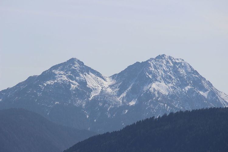
The Nonsberg Group (German: Nonsberggruppe, Italian: Alpi della Val di Non) is a mountain range in South Tyrol and Trentino in Italy and part of the Southern Limestone Alps. A large part of the Nonsberg Group is formed by the Mendelkamm. Their highest peak is the Laugenspitze (2,434 m s.l.m.). The Nonsberg Group is bounded in the east by the Etschtal, to the north by the Prissian High Forest (Ger: Prissianer Hochwald, It: Selva di Prissiano) on the Gampen Pass (It: Passo delle Palade) and in the west by the Non Valley (Ger: Nonstal, It: Val di Non).
Contents
- Map of Alpi della Val di Non 39010 Unsere Liebe Frau im Walde St Felix Province of Bolzano South Tyrol Italy
- Location
- Important summits
- References
Map of Alpi della Val di Non, 39010 Unsere Liebe Frau im Walde-St. Felix, Province of Bolzano - South Tyrol, Italy
Location
The boundary of the range according to the Alpine Club Classification of the Eastern Alps (AVE):
Merano – Etschtal to Mezzocorona − Noce Valley (lower Non Valley/Val di Sole) – Lago di Santa Giustina – Val di Pescara – Proveis − Lederbuch – Hofmahd – Maraunbach to its confluence with the Valschauer Bach – Ultental – Lana – MeranoUntil its reclassification in AVE 1984 this group was counted as part of the Brenta Group according to the old 1924 Moriggl Classification (ME).
Important summits
From north to south: