
Area 59,572 km² Unemployment rate 13.4% (Apr 2015) | Population 9,892 (2013) | |
 | ||
Points of interest Carrie Mc Lain Museum, Kegoayah Kozga Public Lib, End Of Iditarod sled Dog | ||
Nome Census Area is a census area located in the U.S. state of Alaska, mostly overlapping with the Seward Peninsula. As of the 2010 census, the population was 9,492. It is part of the unorganized borough and therefore has no borough seat. Its largest community by far is the city of Nome.
Contents
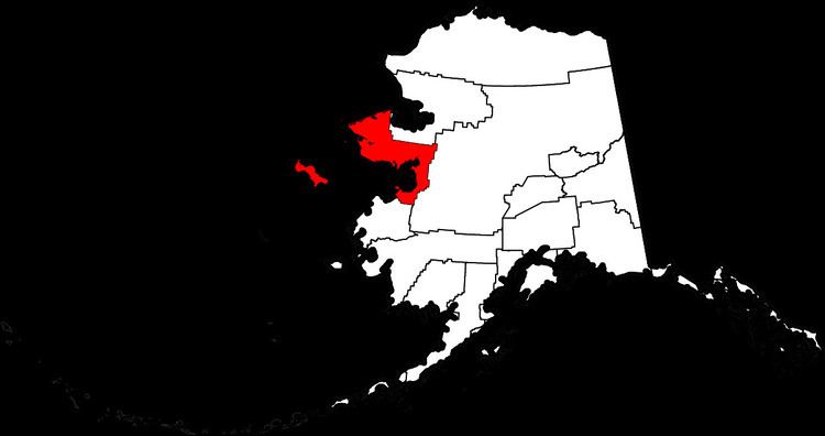
- Map of Nome AK USA
- Geography
- Adjacent boroughs and census areas
- National protected areas
- Demographics
- Unincorporated communities
- References
Map of Nome, AK, USA
Geography
According to the U.S. Census Bureau, the census area has a total area of 28,278 square miles (73,240 km2), of which 22,962 square miles (59,470 km2) is land and 5,316 square miles (13,770 km2) (18.8%) is water. It also includes the large offshore St. Lawrence Island, which has about 14 percent of the census area's population and two of its larger cities in Gambell and Savoonga. Nome Census Area is the 7th largest county-equivalent in the state of Alaska.
Adjacent boroughs and census areas
National protected areas
Demographics
As of the census of 2000, there were 9,196 people, 2,693 households, and 1,898 families residing in the census area. The population density was 0.3 people per square mile (0.1/km²). There were 3,649 housing units at an average density of 0/sq mi (0/km²). The racial makeup of the census area was 19.32% White, 0.38% Black or African American, 75.20% Native American, 0.67% Asian, 0.02% Pacific Islander, 0.20% from other races, and 4.21% from two or more races. 1.00% of the population were Hispanic or Latino of any race. 16.32% reported speaking a Yupik language at home, while 8.75% speak Inupiaq; a further 2.02% reported speaking "Eskimo", a term that covers both Yupik and Inupiaq [1].
There were 2,693 households out of which 45.80% had children under the age of 18 living with them, 42.40% were married couples living together, 15.30% had a female householder with no husband present, and 29.50% were non-families. 23.20% of all households were made up of individuals and 3.30% had someone living alone who was 65 years of age or older. The average household size was 3.33 and the average family size was 4.01.
In the census area the population was spread out with 37.10% under the age of 18, 9.30% from 18 to 24, 29.00% from 25 to 44, 18.60% from 45 to 64, and 5.90% who were 65 years of age or older. The median age was 28 years. For every 100 females there were 117.60 males. For every 100 females age 18 and over, there were 122.70 males.