
Country United States Local time Sunday 12:40 AM | Population 4 (2003) | |
 | ||
Weather -17°C, Wind N at 13 km/h, 73% Humidity | ||
Solomon is an unincorporated community in the Nome Census Area of the Unorganized Borough of Alaska. The Solomon State Field Airport is located near here. The elevation is 23 feet (7.0 m). As of 2003, the population was 4. The nearest town is Nome, Alaska.
Contents
Map of Solomon, Alaska, USA
History
Solomon was originally settled by the Fish River tribe. It became a mining camp and then a town in the early 1900s. The first post office was established in 1900 under the direction of Postmaster Otto Weihe, 1899 graduate of the California College of Pharmacy. In 1913, the railroad was destroyed and in 1918 a flu began.
Area information
The school district is Bering Strait School District in Unalakleet, Alaska. There is no running water in Solomon; the residents haul water from the Solomon River. The former settlement of Dickson was directly across the river on its eastern shore.
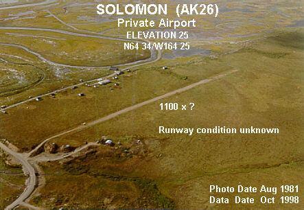
Solomon is 30 miles (48 km) east of Nome. The Nome/Council Road goes through Solomon and is the only street. The Solomon State Field Airport is a gravel airstrip that runs charter flights from Nome.
There is a single bed and breakfast operating in summer which is used heavily by government survey crews.