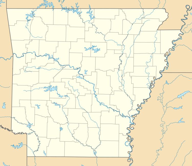
Country United States County Pope Time zone Central (CST) (UTC-6) Local time Tuesday 6:47 PM | State Arkansas Elevation 1,726 ft (526 m) Area code(s) 479 | |
 | ||
Weather 19°C, Wind E at 16 km/h, 60% Humidity | ||
Nogo is a small unincorporated community in Smyrna Township, Pope County, Arkansas, United States. It is part of the Russellville Micropolitan Statistical Area.
Map of Nogo, Smyrna Township, AR 72843, USA
Nogo is situated in the Boston Mountains, 11 miles northwest of Kincannon Mountain and 28 miles northeast of Russellville on Arkansas Highway 27 at 35°38′27″N 92°52′46″W, within the Ozark National Forest.
The elevation is 1720 feet above sea level.
Nogo has been noted for its unusual place name.
References
Nogo, Arkansas Wikipedia(Text) CC BY-SA
