
Population 4,990 (2001 Census) Sovereign state United Kingdom Local time Tuesday 11:09 PM Dialling code 0151 | OS grid reference SJ285875 Post town PRENTON | |
 | ||
Weather 11°C, Wind S at 13 km/h, 86% Humidity ISO 3166 code | ||
Noctorum is a suburb of Birkenhead, Merseyside, England, in the Metropolitan Borough of Wirral. At the 2001 Census the population of Noctorum was 4,990 (2,360 males, 2,630 females).
Contents
Map of Noctorum, Birkenhead, Prenton, UK
Due to a redefining of post towns by the Royal Mail in 2003, Noctorum is identified as being within Prenton (which is in fact a geographically separate suburb of Birkenhead), yet this was only a postal change and Noctorum itself still remains a part of Birkenhead.
History
The name Noctorum is of Old Irish origin, originally Cnocc Tirim, meaning 'Dry Hill'. This may be in reference to Bidston Hill, of which Noctorum is situated on its western slope. The name may long pre-date the Norse-Irish settlement in the early 10th century and go back to a Hibernian settlement of the west coast in the Sub-Roman period (early 5th century).
Noctorum appears as Chenoterie (Norman French) in the Domesday Book of 1086. "Chêne" (French for oak) may be used here as in the Wirral hamlet of Landican (Old Welsh/Brythonic) called Landechene, the Oak Enclosure in the Norman French of the Doomsday Book.
Noctorum Lane is the site of Rathmore, a Grade II listed house designed by Edmund Kirby and built in the 1880s.
Noctorum was a township of the parish of Woodchurch, in the Wirral Hundred. The population was 17 in 1801, 32 in 1851 and 212 in 1901. It was added to Birkenhead civil parish in 1933 and part of the County Borough of Birkenhead, within the geographical county of Cheshire, until local government reorganisation on 1 April 1974.
Geography
Noctorum is in the northern part of the Wirral Peninsula, approximately 4.5 km (2.8 mi) south-south-east of the Irish Sea at Leasowe, 6.5 km (4.0 mi) east-north-east of the Dee Estuary at Caldy and 4 km (2.5 mi) west of the River Mersey at Tranmere. Noctorum is situated on the western side of the Bidston to Storeton ridge, with the area at an elevation of between 10–60 m (33–197 ft) above sea level.
Community
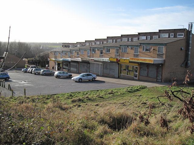
Ridgeway High School and the Discovery City Learning Centre (containing Ridgeway Library) is situated within this suburb. There is also a large council estate located here.
Transport
Upton railway station is the nearest station to Noctorum. It is located on the Borderlands Line between Bidston and Wrexham.