
Sovereign state United Kingdom Established 1 April 1974 Area 157.2 km² Dialling code 151 | Administrative HQ Wallasey (Town Hall) Area code 0151 Team Tranmere Rovers F.C. | |
 | ||
Points of interest Wirral Peninsula, Lady Lever Art Gallery, Spaceport, Williamson Art Gallery and Muse, Wirral Transport Museum Destinations | ||
Hamilton square birkenhead town hall wirral channel
The Metropolitan Borough of Wirral is a metropolitan borough of Merseyside, in North West England. It has a population of 320,295, and encompasses 60 square miles (160 km2) of the northern part of the Wirral Peninsula. Major settlements include Birkenhead, Wallasey, Bebington, Heswall, Hoylake and West Kirby. The city of Liverpool over the Mersey, faces the northeastern side of Wirral. Bordering is the River Mersey to the east, the Irish Sea to the north and the River Dee to the west; the borough of Cheshire West and Chester occupies the remainder of the Wirral Peninsula and borders the borough of Wirral to the south.
Contents
- Hamilton square birkenhead town hall wirral channel
- Map of Wirral UK
- History
- Economy
- Education
- Liverpool City Region Combined Authority
- Wirral Borough Council Composition
- Places of interest
- Twin towns sister cities
- References
Map of Wirral, UK
History
The borough was formed on 1 April 1974, under the Local Government Act 1972, as a merger of the county boroughs of Birkenhead and Wallasey, along with the municipal borough of Bebington and the urban districts of Hoylake and Wirral.
Economy
This is a chart of trend of regional gross value added of Wirral at current basic prices published (pp. 240–253) by Office for National Statistics with figures in millions of British Pounds Sterling.
^ includes hunting and forestry
^ includes energy and construction
^ includes financial intermediation services indirectly measured
^ Components may not sum to totals due to rounding
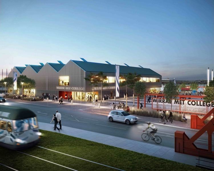
In September 2006 a large scale development called Wirral Waters was unveiled by the company Peel Holdings, that if constructed as outlined may see the creation of up to 27,000 jobs.
Education
When the borough was set up in 1974, it inherited comprehensive systems from the former County Boroughs of Birkenhead and Wallasey. In the part of Wirral formerly administered by Cheshire County Council, it inherited a selective system of grammar and secondary modern non-Roman Catholic schools and a comprehensive Roman Catholic school (St John Plessington Catholic College).
Until the implementation of the Education Reform Act 1988, education in Wirral continued to be organised in four areas; Birkenhead, Wallasey and the former parts of Cheshire known for education purposes as "Bebington" and "Deeside". However this Act introduced "open enrolment", allowing parents from anywhere in the borough, and outside it, to apply for a place for their child at any secondary school. As a result, significant numbers of pupils from the former "comprehensive areas" attend schools in the former "selective areas" and vice versa. The distinction between different types of school was to an extent masked, as all secondary modern and most comprehensive schools were named "High School". As a further result of this Act, St Anselm's College and Upton Hall School, both within the Birkenhead education area, became the only independent schools in the country to become state funded grant-maintained schools, retaining selective admissions policies to become Roman Catholic grammar schools.
A further change came as a result of the School Standards and Framework Act 1998, which effectively changed secondary modern schools into comprehensives as schools were no longer permitted to select by examination failure. In summary, Wirral now has a state secondary sector made up of 16 comprehensive schools (of which two are Roman Catholic) and 6 grammar schools (of which two are Roman Catholic).
Liverpool City Region Combined Authority
The Metropolitan Borough of Wirral is one of the six constituent local government districts of the Liverpool City Region. Since 1 April 2014, some of the borough's responsibilities have been pooled with neighbouring authorities within the metropolitan area and subsumed into the Liverpool City Region Combined Authority.
The combined authority has effectively become the top-tier administrative body for the local governance of the city region and the leader of Wirral Borough Council, along with the five other leaders from neighbouring local government districts, take strategic decisions over economic development, transport, employment and skills, tourism, culture, housing and physical infrastructure.
As of July 2015, negotiations are currently taking place between the UK national government and the combined authority over a possible devolution deal to confer greater powers on the region. Discussions include whether to introduce an elected ‘Metro Mayor’ to oversee the entire metropolitan area.
Wirral Borough Council Composition
After the local elections in 2008 the Metropolitan Borough of Wirral was governed by a Labour Party/Liberal Democrat coalition, the second and third largest parties on the council respectively. Cllr Steve Foulkes of Labour was Leader of the Council. The Conservative Party was the largest party represented, and was in opposition with its leader Cllr Jeff Green being leader of the opposition.
After the local elections in 2010 the Metropolitan Borough of Wirral was governed by a Conservative Party/Liberal Democrat coalition, which reflected the coalition at national level. The Conservative Party, continuing to be the largest party represented on the council increased its number of seats by 2 to 27 and has now entered into coalition government with the Liberal Democrats as the leading coalition partner with the leader of the Conservatives, Cllr Jeff Green, becoming the new leader of the council. The Labour Party increased its representation on the council by 4 to 24 and remained the second largest party though they are now in opposition with their leader, Cllr Steve Foulkes, who was leader of the council now leader of the opposition. The Liberal Democrats lost 4 seats decreasing their tally to 15 remaining the third largest party on the council but continuing to participate in the governing of the council as the junior coalition partner to the Conservatives. The one independent represented on the council lost their seat.
After the local elections in 2011 the Metropolitan Borough of Wirral was governed by a minority Labour Party administration. Cllr Steve Foulkes was leader of the Council with Cllr Phil Davies as deputy leader. The Liberal Democrats lost a councillor who switched to Labour, Cllr Steve Niblock shortly after the elections. There are now no independents on Wirral Council. Labour have 36 seats, Conservatives have 23 and the Liberal Democrats 7.
In February 2012 the Conservatives and Liberal Democrats defeated the Labour administration in a motion of no confidence and the two parties governed again until the May election. Labour made gains in May 2012, gaining majority control of the council for the first time since local elections in 2002 saw Labour become a minority. Wirral is led by Phil Davies.
Places of interest
Wirral Council maintains five designated Local Nature Reserves: Bidston Moss, Dibbinsdale, Heswall Dales, Hilbre Island and Thurstaston Common. It also operates the Merseyside part of Wirral Country Park, which was the first country park to be established in Britain.
Twin towns — sister cities
The Metropolitan Borough of Wirral is twinned or has sister city relationships with: