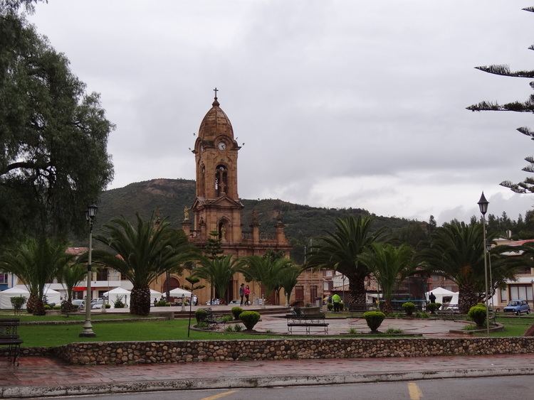
Founded 9 January 1593 Area 55.39 km² Local time Tuesday 4:23 PM | Elevation 2,510 m (8,230 ft) Population 16,271 (2015) | |
 | ||
Founded by Jerónimo Holguín & Misael Millán Time zone Colombia Standard Time (UTC-5) Weather 18°C, Wind W at 10 km/h, 70% Humidity | ||
Nobsa is a town and municipality in the Sugamuxi Province, part of the Colombian department of Boyacá. The urban centre is situated on the Altiplano Cundiboyacense at 125 kilometres (78 mi) from the national capital Bogotá at an altitude of 2,510 metres (8,230 ft). Other parts of the municipality range in altitude between 2,500 metres (8,200 ft) and 3,300 metres (10,800 ft). The Chicamocha River flows through Nobsa. The municipality borders Santa Rosa de Viterbo and Floresta in the north, Corrales and Tópaga in the east, Tibasosa and Santa Rosa de Viterbo in the west and in the south Tibasosa and Santa Rosa de Viterbo.
Contents
Map of Nobsa, Boyac%C3%A1, Colombia
Etymology
Nobsa is derived from Chibcha and means "Decent bath of today".
History
In the times before the Spanish conquest, the area of Nobsa was part of the Muisca Confederation, a loose confederation of the Muisca. Nobsa was ruled by the Tundama of Tundama.
Modern Nobsa was founded on January 9, 1593 by Jerónimo Holguín and Misael Millán.
Economy
Main economical activities of Nobsa are agriculture, livestock farming, mining (predominantly limestone) and the production of wooden furniture.
