Postal code 3800-3812 Local time Wednesday 1:50 AM | Time zone BST (UTC+6) Area 336.1 km² | |
 | ||
Weather 25°C, Wind S at 14 km/h, 91% Humidity | ||
Noakhali Sadar (Bengali: নোয়াখালি সদর) is an upazila of Noakhali District in the Division of Chittagong, Bangladesh. Noakhali Thana was established in 1861 and was converted into an upazila in 1984. The upazila takes its name from the district and the Bengali word sadar (headquarters). It is the subdistrict where the district headquarters, Noakhali town, is located. The town is situated on the western bank of the Noakhali Canal, from which it takes its name. The Noakhali Canal was dug in 1660 to control flooding of the river Dakatia. The name Noakhali means "New canal", derived from the Bengali words noa (new) and khal (canal).
Contents
- Map of Noakhali Bangladesh
- Geography
- Demographics
- Sports
- Administration
- Transport
- Education
- Notable residents
- References
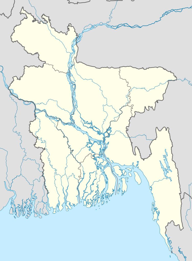
Map of Noakhali, Bangladesh
Geography
Noakhali Sadar Upazila has a total area of 336.06 square kilometres (129.75 sq mi). It borders Begumganj Upazila to the north, Kabirhat Upazila to the east, Suborno Char Upazila to the south, and Komolnagar and Lakshmipur Sadar upazilas of Lakshmipur District to the west. The Noakhali Canal flows north through the upazila.
Demographics
According to the 2011 Bangladesh census, Noakhali Sadar Upazila had 100,219 households and a population of 525,934, 24.9% of whom lived in urban areas. 12.3% of the population was under the age of 5. The literacy rate (age 7 and over) was 51.7%, compared to the national average of 51.8%.
The boundaries of the upazila were redrawn in 2005 to create a new upazila, Suborno Char, and again in 2006 to create Kabirhat Upazila. The combined population of the three in 2011 was 1,012,392, a 32% increase from 2001.
Sports
The most popular sports in the upazila are football and cricket. Shaheed Bulu Stadium is used for both, as well as for large community gatherings such as Victory Day celebrations.
Administration
Noakhali Sadar Upazila is divided into Noakhali Municipality and 13 union parishads: Anderchar, Ashwadia, Binodpur, Char Matua, Dadpur, Dharmapur, Ewazbalia, Kadir Hanif, Kaladaraf, Niazpur, Noakhali, Noannai, and Purba Char Matua. The union parishads are subdivided into 166 mauzas and 173 villages.
Noakhali Municipality was established in 1876. It is subdivided into 9 wards and 36 mahallas.
Transport
Rail stations Maijdi, Maijdi Court, Harinarayanpur, and Noakhali are the last four on the branch line connecting Laksam and Noakhali. In May 2015, they were served by one intercity and four mail trains a day.
The town of Noakhali is the southern terminus of national highway N104, which connects to Feni, about 50 kilometres (31 mi) away.
Education
Noakhali Science and Technology University, founded in 2006, is the only university. and Noakhali Medical College, founded in 2008,is the only medical college. There are nine colleges in the upazila. They include Noakhali Government College, founded in 1963, and Noakhali Government Women's College is the only masters level one.
Noakhali Zilla School, a high school founded in 1850, is one of the oldest schools in Bangladesh. also Noakhali Government Girls' High School is a prominent one.
The madrasa education system includes two fazil and two kamil madrasas.
