
Time zone EAT (UTC+3) | Local time Tuesday 12:50 PM | |
 | ||
Weather 22°C, Wind E at 19 km/h, 46% Humidity | ||
5 weeks in njabini kenya
Njabini is a settlement in Nyandarua County, Kenya.
Contents
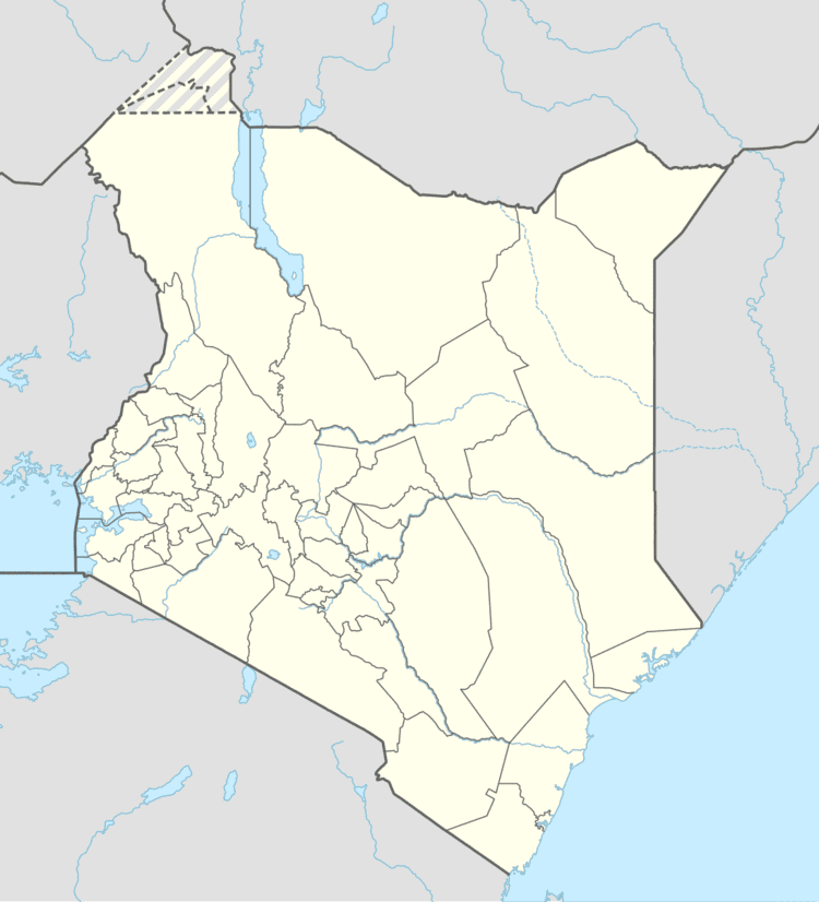
Map of Njabini, Kenya
It lies to the east of the Aberdare ranges and due to this receives a significant proportion of the rainfall in the region. It's a highly productive agricultural area with vegetables being the mainstay. Njabini town is the administrative district for Kinangop division. Approximately 40% of the population have clean accessible water. Electricity is supplied mainly to residential and commercial properties but high installation costs put it out of reach of many residents. The Chanie and Sasumua rivers traverse the area. They both merge and drain into the Sasumua dam. The impounded water is treated at the water works before being piped to Nairobi. The treated water accounts for roughly 30% of the capital's requirements.
Education
There are four public primary schools which serve the local community. These are Chania Primary school, Njabini Primary school, Mucibau Primary school, and Sasumua Primary school. There are three secondary schools namely Njabini Boys High School, Mt. Kinangop Girls High School and Aberdare Girls. There is also one technical college in Njabini.