
Time zone EST (UTC-5) Elevation 5 m Population 41,252 (2004) | Established 1825 Area code(s) +53-23 Area 582 km² Local time Monday 11:11 PM | |
 | ||
Weather 24°C, Wind NE at 21 km/h, 73% Humidity | ||
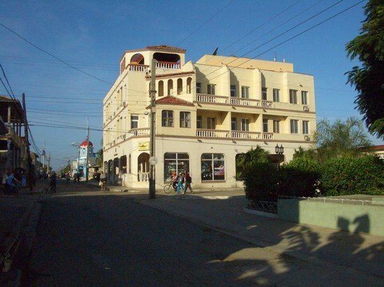
Niquero is a municipality and town in the Granma Province of Cuba. It is located in the coastal region of the province, bordering the Gulf of Guacanayabo. Cape Cruz (Cabo Cruz), the westernmost point of the province is located in this municipality.
Contents
Map of Niquero, Cuba
Geography
The municipality is divided into the barrios of Belic, Guanito, Jagua, La Marea, El Plátano, Sevilla Abajo, Cabo Cruz, Hondón, Marea de Belic, Alegría de Pío, Estacadero, La Ricardo, etc.
History
During Cuban Revolution, Niquero was the site of the landing of Granma, a yacht boarded by 82 members of the 26th of July Movement, including Fidel Castro, Raúl Castro, Che Guevara and Camilo Cienfuegos. On 2 December 1956 the yacht, departed from Tuxpan, in Mexico, landed in Los Cayuelos near the beach Playa Las Coloradas, few km in south of the town. The Desembarco del Granma National Park (i.e.: Landing of the Granma N. P.), located in south of the municipality, was named after the event.
Demographics
In 2004, the municipality of Niquero had a population of 41,252. With a total area of 582 km2 (225 sq mi), it has a population density of 70.9/km2 (184/sq mi).