
Length 55,522 m | ||
 | ||
Hazards hunters, deer ticks, poison ivy | ||
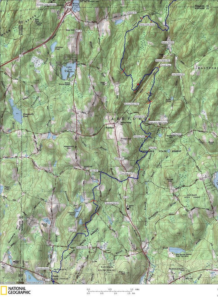
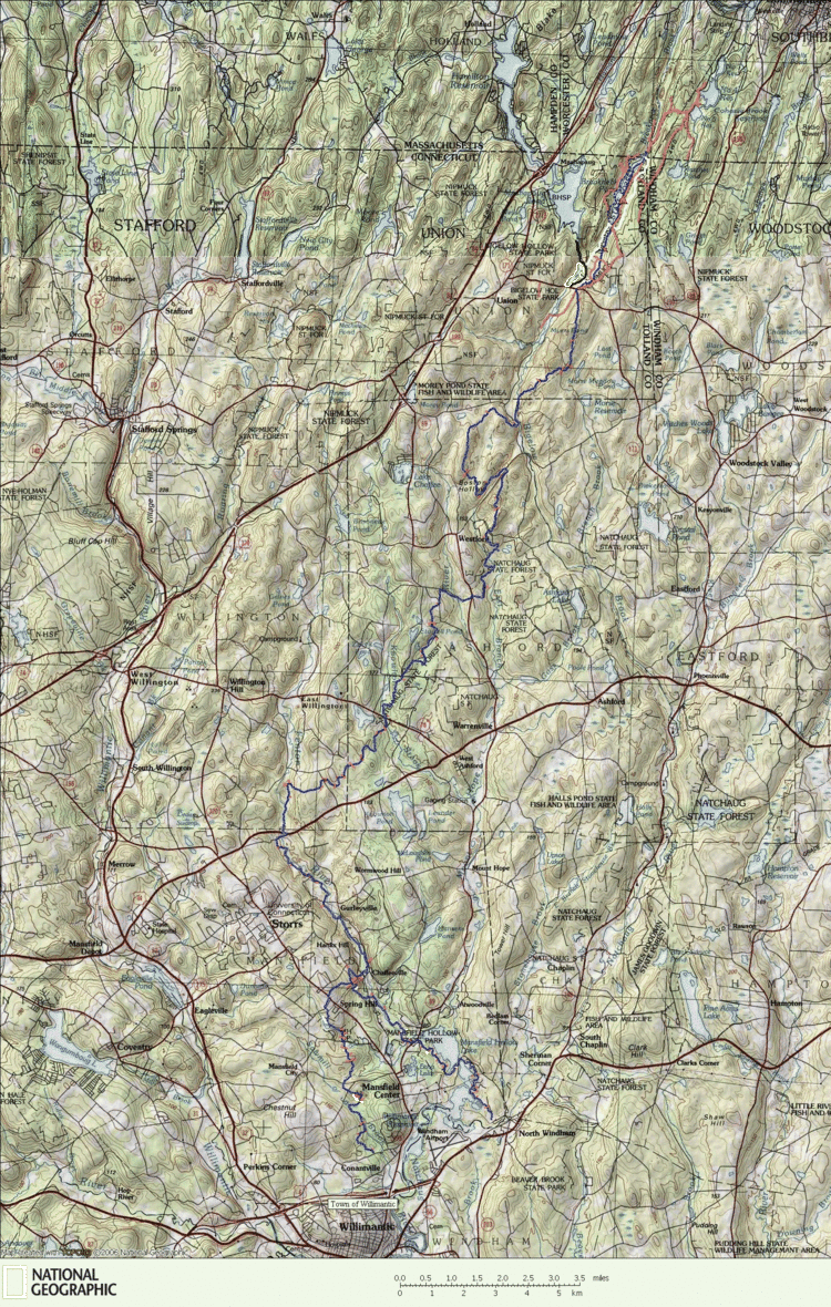
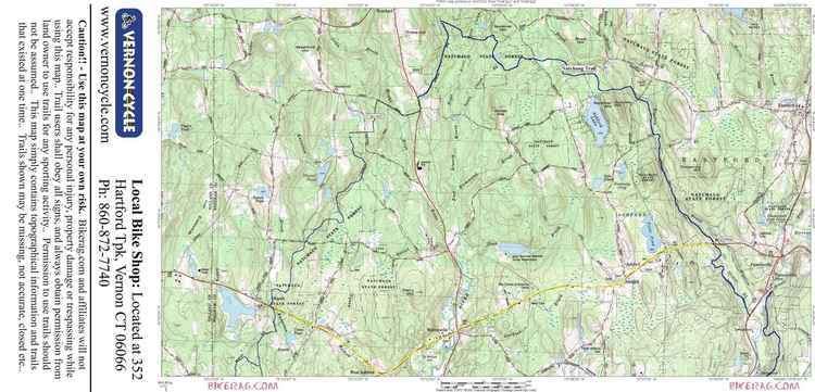
The nipmuck trail
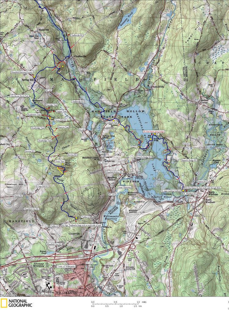
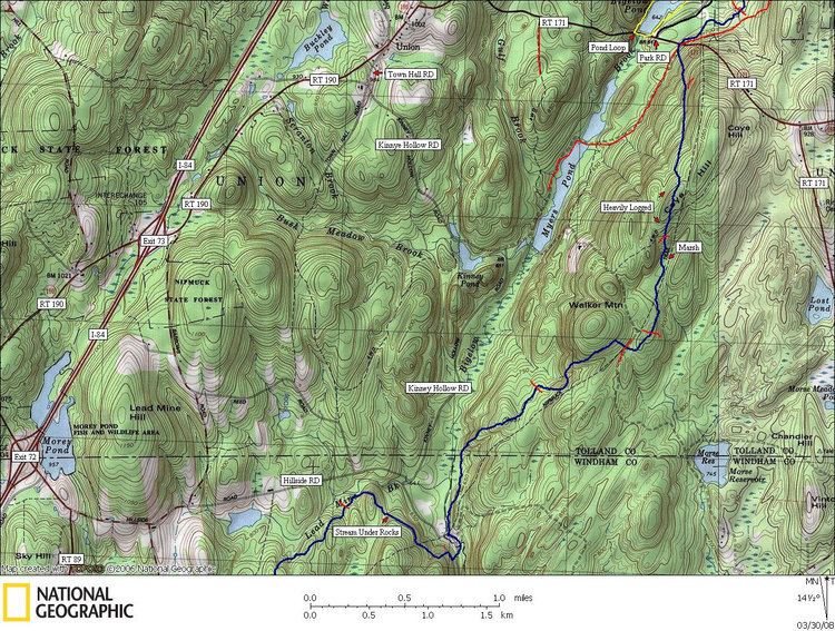
The Nipmuck Trail is a Blue-Blazed hiking trail "system" which meanders through 34.5 miles (55.5 km) of forests in northeast Connecticut. It is maintained by the Connecticut Forest and Park Association and is considered one of the Blue-Blazed hiking trails. There are two southern trail heads (two tines of a fork) in the south of the town of Mansfield, Connecticut. The southwestern terminus is at a road shoulder parking place on Puddin Lane, and the southeastern terminus is a DEEP parking lot on North Windham Road at the southeast corner of Mansfield Hollow State Park. The northern terminus is at the north end of Breakneck Pond along the Massachusetts border in Nipmuck State Forest. Camping permits may be obtained for up to five separate locations for backpacking.
Contents
- The nipmuck trail
- Nipmuck dave the muckettes the 2009 nipmuck trail marathon
- Trail description
- Trail communities
- History and folklore
- Historic sites
- Hiking the trail
- Conservation and maintenance of the trail corridor
- References
For 9 miles (14 km) the Nipmuck Trail travels through the Yale-Myers Forest which is owned by Yale University. The trail also traverses 3.5 miles (5.6 km) of the University of Connecticut's East Campus (the protected Moss tract through the Fenton Forest).
Nipmuck dave the muckettes the 2009 nipmuck trail marathon
Trail description
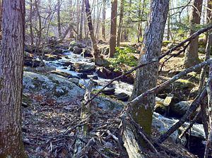
The Nipmuck Trail is primarily used for hiking, backpacking, picnicking, and in the winter, snowshoeing.
Portions of the trail are suitable for, and are used for, cross-country skiing and geocaching. Site-specific activities enjoyed along the route include bird watching, hunting (very limited), fishing, horseback riding, bouldering and rock climbing (limited).
Trail communities
The official Blue-Blazed Nipmuck Trail passes through land located within the following municipalities, from south to north:
History and folklore
The Blue-Blazed Nipmuck Trail was created by the Connecticut Forest and Park Association.
Historic sites
There is a historic gristmill near the trail in Storrs, Connecticut. Across from this is the house where Wilbur Cross was born.
Hiking the trail
The mainline trail is blazed with blue rectangles. Trail descriptions are available from a number of commercial and non-commercial sources, and a complete guidebook is published by the Connecticut Forest and Park Association
Conservation and maintenance of the trail corridor
The last week of March 2010 the Connecticut Forest and Park Association acquired the largest conservation easement in an agreement with the University of Connecticut for the 3.5 miles (5.6 km) section of the Nipmuck Trail which passes through University of Connecticut protected property (the Moss tract through the Fenton Forest). Also on that date a number of conveyances between the University of Connecticut, CFPA, the Norcross Wildlife Foundation and the towns of Willington and Mansfield secured the preservation of 531 acres (2.15 km2) of land on four forested properties near or surrounding the Nipmuck Trail.