
Country United States FIPS code 31-34370 Area 189 ha Zip code 68760 Local time Monday 9:01 PM | Time zone Central (CST) (UTC-6) GNIS feature ID 0831636 Elevation 375 m Population 357 (2013) Area code 402 | |
 | ||
Weather 11°C, Wind E at 8 km/h, 64% Humidity | ||
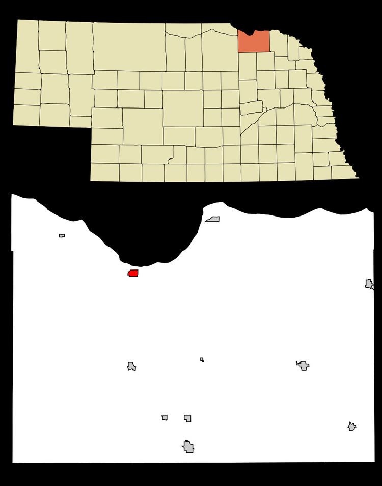
Niobrara (/ˌnaɪ.əˈbrærə/; Omaha: Ní Ubthátha Tʰáⁿwaⁿgthaⁿ [nĩꜜ ubɫᶞaꜜɫᶞa tʰãꜜwãŋɡɫᶞã], meaning "water spread-out village") is a village in Knox County, Nebraska, United States. The population was 370 at the 2010 census.
Contents
Map of Niobrara, NE 68760, USA
History
Niobrara was founded in 1856. There a fort was built to protect the early settlers from Indian attacks. The settlement took its name from the Niobrara River.
Geography
Niobrara is located at 42°45′0″N 98°1′55″W (42.750000, -98.031989).
According to the United States Census Bureau, the village has a total area of 0.73 square miles (1.89 km2), all of it land. The Niobrara River, which is right next to the town, actually courses through the Mormon Canal rather than its original riverbed.
2010 census
As of the census of 2010, there were 370 people, 193 households, and 93 families residing in the village. The population density was 506.8 inhabitants per square mile (195.7/km2). There were 251 housing units at an average density of 343.8 per square mile (132.7/km2). The racial makeup of the village was 84.3% White, 0.3% African American, 11.6% Native American, and 3.8% from two or more races. Hispanic or Latino of any race were 2.4% of the population.
There were 193 households of which 15.0% had children under the age of 18 living with them, 37.3% were married couples living together, 7.3% had a female householder with no husband present, 3.6% had a male householder with no wife present, and 51.8% were non-families. 45.6% of all households were made up of individuals and 23.3% had someone living alone who was 65 years of age or older. The average household size was 1.92 and the average family size was 2.70.
The median age in the village was 54.8 years. 16.8% of residents were under the age of 18; 4.5% were between the ages of 18 and 24; 17.1% were from 25 to 44; 32.4% were from 45 to 64; and 29.2% were 65 years of age or older. The gender makeup of the village was 51.4% male and 48.6% female.
2000 census
As of the census of 2000, there were 379 people, 184 households, and 107 families residing in the village. The population density was 525.2 people per square mile (203.2/km²). There were 230 housing units at an average density of 318.7 per square mile (123.3/km²). The racial makeup of the village was 86.54% White, 10.29% Native American, 0.53% Pacific Islander, 0.53% from other races, and 2.11% from two or more races. Hispanic or Latino of any race were 2.37% of the population.
There were 184 households of which 22.8% had children under the age of 18 living with them, 46.7% were married couples living together, 8.2% had a female householder with no husband present, and 41.8% were non-families. 39.7% of all households were made up of individuals and 22.8% had someone living alone who was 65 years of age or older. The average household size was 2.06 and the average family size was 2.72.
In the village, the population was spread out with 22.7% under the age of 18, 3.4% from 18 to 24, 17.9% from 25 to 44, 32.2% from 45 to 64, and 23.7% who were 65 years of age or older. The median age was 49 years. For every 100 females there were 103.8 males. For every 100 females age 18 and over, there were 98.0 males.
As of 2000 the median income for a household in the village was $26,000, and the median income for a family was $36,250. Males had a median income of $26,042 versus $21,250 for females. The per capita income for the village was $15,299. About 9.3% of families and 13.8% of the population were below the poverty line, including 28.4% of those under age 18 and 7.4% of those age 65 or over.
Climate
This climatic region is typified by large seasonal temperature differences, with warm to hot (and often humid) summers and cold (sometimes severely cold) winters. According to the Köppen Climate Classification system, Niobrara has a humid continental climate, abbreviated "Dfa" on climate maps.