Time zone EET (UTC+2) Area code(s) +30-2394-xxx-xxx Municipality Langadas | Elevation 570 m (1,870 ft) Postal code 570 17 Vehicle registration NAx-xxxx to NXx-xxxx | |
 | ||
Nikopoli (Greek: Νικόπολη, Bulgarian: Зарово) is a village and a community of the Langadas municipality. Before the 2011 local government reform it was part of the municipality of Lachanas, of which it was a municipal district. The 2011 census recorded 134 inhabitants in the village. The community of Nikopoli covers an area of 20.349 km2.
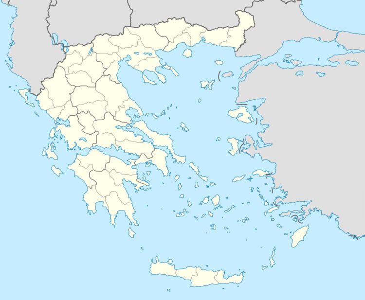
Map of Nikopoli 570 17, Greece
References
Nikopoli, Thessaloniki Wikipedia(Text) CC BY-SA
