
Elevation 104 m (341 ft) Area 8.31 km² Local time Monday 11:06 AM | Time zone CET/CEST (UTC+1/+2) Population 4,736 (31 Dec 2008) Postal code 31688 | |
 | ||
Weather 12°C, Wind S at 10 km/h, 46% Humidity | ||
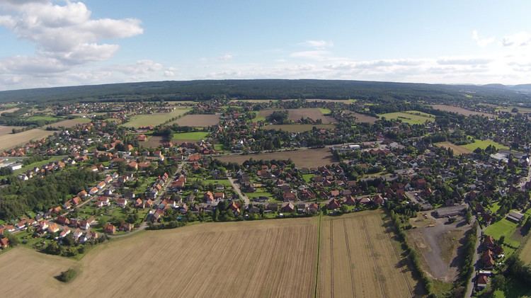
Nienstädt is a municipality in the district of Schaumburg, in Lower Saxony, Germany. It is situated approximately 4 km southwest of Stadthagen, and 17 km east of Minden.
Contents
Map of Nienst%C3%A4dt, Germany
Nienstädt is part of the Samtgemeinde ("collective municipality") Nienstädt.
Geography
Nienstädt lies on the northern slopes of the Bückeberge between Bückeburg and Stadthagen on the B 65 federal highway.
The four parishes in the municipality are Sülbeck, Liekwegen, Wackerfeld and Meinefeld. While Sülbeck and Nienstädt are bisected by the B 65, Liekwegen runs along the Bückeberg as a ribbon village. Wackerfeld and Meinefeld lie in open country north of Nienstädt.
Neighbouring communities (clockwise) are the towns of Stadthagen and Obernkirchen and the village of Helpsen.
References
Nienstädt Wikipedia(Text) CC BY-SA