
Elevation 360 m (1,180 ft) Area 7.43 km² Population 326 (31 Dec 2008) Dialling code 06785 | Time zone CET/CEST (UTC+1/+2) Local time Monday 9:33 AM Postal code 55758 | |
 | ||
Weather 3°C, Wind NE at 6 km/h, 72% Humidity | ||
Niederhosenbach is an Ortsgemeinde – a municipality belonging to a Verbandsgemeinde, a kind of collective municipality – in the Birkenfeld district in Rhineland-Palatinate, Germany. It belongs to the Verbandsgemeinde of Herrstein, whose seat is in the like-named municipality.
Contents
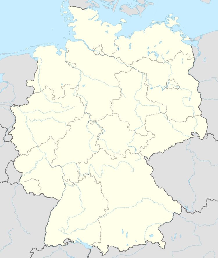
- Map of 55758 Niederhosenbach Germany
- Location
- Neighbouring municipalities
- Constituent communities
- Vanished village
- Municipal council
- Mayor
- Coat of arms
- Buildings
- Transport
- References
Map of 55758 Niederhosenbach, Germany
Location
The municipality lies north of the river Nahe between Kirn and Herrstein. The municipal area is 43.4% wooded.
Neighbouring municipalities
Niederhosenbach’s neighbours are Herrstein, Breitenthal, Wickenrodt, Sonnschied, Griebelschied and Bergen.
Constituent communities
Also belonging to Niederhosenbach are the outlying homesteads of “Auf dem Büchelchen”, “Heupenmühle” and “Zwischen den Seen”.
Vanished village
South of Niederhosenbach, on the Hosenbach’s left bank before the “Allholz” woods and opposite the Etzelberg (mountain) once stood a village named Hitzelhosenbach. A plaque at the site recalls the now long-vanished village. Standing at the spot where the road from Niederhosenbach to Fischbach crosses the brook was the Etzelberger Mühle (mill), which burnt down in 1913.
Municipal council
The council is made up of 8 council members, who were elected by majority vote at the municipal election held on 7 June 2009, and the honorary mayor as chairman.
Mayor
Niederhosenbach’s mayor, who has held office since 2007, is Helmut Hey, and his deputies are Thomas Heylmann and Markus Schnurr.
Coat of arms
The German blazon reads: In schräglinks geteiltem Schild vorne in Silber über blauem Wellenschrägbalken die blauen Buchstaben N und H, hinten rot-silbernes Schach, belegt mit einem schwarzen Dreiberg.
The municipality’s arms might in English heraldic language be described thus: Per bend sinister argent a bend wavy abased above which the letters N and H in bend, and chequy gules and argent issuant from base a mount of three sable.
The letters N and H on the dexter (armsbearer’s right, viewer’s left) side refer to the municipality’s name, as does the wavy bend (slanted stripe; the ending —bach means “brook” in German), while the “chequy” field on the sinister (armsbearer’s left, viewer’s right) side is a reference to the village’s former allegiance to the County of Sponheim, and the mount of three – a charge called a Dreiberg in German heraldry – stands for the Amt within the County of Sponheim in which Niederhosenbach lay, namely Herrstein (whose name literally means “Lordstone”). Niederhosenbach even today lies in a Verbandsgemeinde of that same name.
Buildings
The following are listed buildings or sites in Rhineland-Palatinate’s Directory of Cultural Monuments:
Transport
Running southeast of the municipality is Bundesstraße 41. Serving nearby Fischbach is a railway station on the Nahe Valley Railway (Bingen–Saarbrücken).