Elevation 397 m (1,302 ft) Area 4.19 km² Population 196 (31 Dec 2008) Dialling code 06752 | Time zone CET/CEST (UTC+1/+2) Local time Friday 1:51 PM Postal code 55608 | |
 | ||
Weather 10°C, Wind NE at 6 km/h, 46% Humidity | ||
Griebelschied is an Ortsgemeinde – a municipality belonging to a Verbandsgemeinde, a kind of collective municipality – in the Birkenfeld district in Rhineland-Palatinate, Germany. It belongs to the Verbandsgemeinde of Herrstein, whose seat is in the like-named municipality.
Contents
- Map of Griebelschied Germany
- Location
- History
- Municipal council
- Mayor
- Coat of arms
- Buildings
- Transport
- References
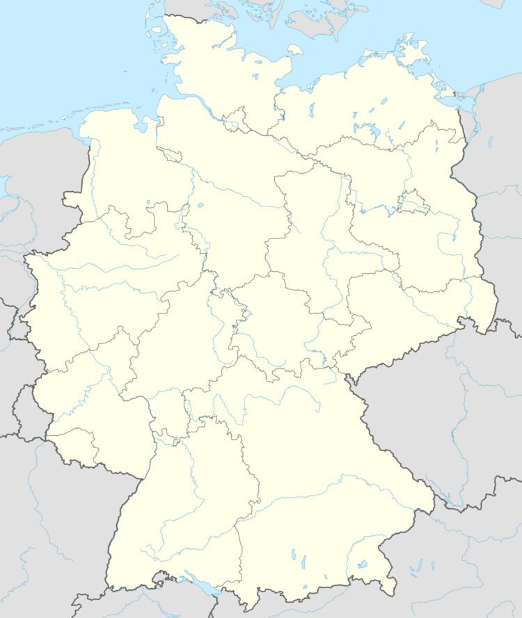
Map of Griebelschied, Germany
Location
The municipality lies west of the Nahe between Kirn and Herrstein. Forty-three percent of the municipal area is wooded.
History
In 1279, Griebelschied had its first documentary mention. In 1800, Schinderhannes (Johannes Bückler), an infamous outlaw, celebrated his “Robber’s Ball of Griebelschied”.
Municipal council
The council is made up of 6 council members, who were elected by majority vote at the municipal election held on 7 June 2009, and the honorary mayor as chairman.
Mayor
Griebelschied’s mayor is Herbert Hohmann, and his deputies are Thomas Endres (not the fencer) and Erich Stumm.
Coat of arms
The municipality’s arms might be described thus: Per bend Or a lion rampant gules armed and langued azure, and vert an oakleaf bendwise slipped and a sprig of acorns bendwise sinister, the two per saltire in base and the whole of the first.
Buildings
The following are listed buildings or sites in Rhineland-Palatinate’s Directory of Cultural Monuments:
Transport
To the southeast runs Bundesstraße 41. Available in nearby Kirn is a railway station on the Nahe Valley Railway (Bingen–Saarbrücken).
