
Country India Vehicle registration WB Elevation 10 m Population 27,818 (2011) | Time zone IST (UTC+5:30) Lok Sabha constituency Sreerampur Local time Monday 2:00 AM | |
 | ||
Weather 26°C, Wind S at 11 km/h, 87% Humidity | ||
Nibra is a census town in Domjur (community development block) under Domjur police station in Sadar subdivision of Howrah district in the Indian state of West Bengal.
Contents
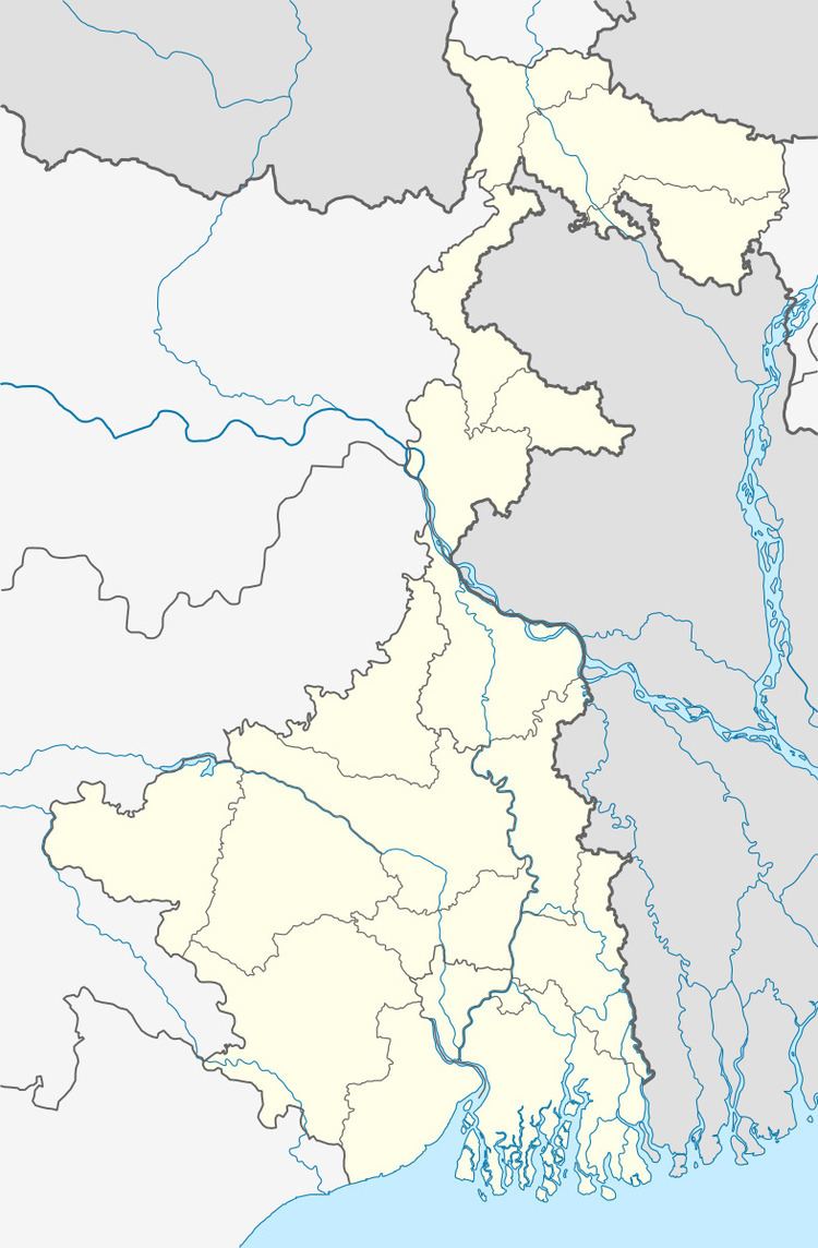
Map of Nibra, West Bengal
Demographics
As per 2011 Census of India Nibra had a total population of 27,818 of which 14,388 (52%) were males and 13,430 (48%) were females. Population below 6 years was 3,584. The total number of literates in Nibra was 21,219 (87.56 % of the population over 6 years).
Nibra was part of Kolkata Urban Agglomeration in 2011 census.
As of 2001 India census, Nibra had a population of 22,288. Males constitute 52% of the population and females 48%. Nibra has an average literacy rate of 72%, higher than the national average of 59.5%: male literacy is 76%, and female literacy is 69%. In Nibra, 14% of the population is under 6 years of age.
Communication
There is an Sub-Post office in North Nibra.
Transport
The nearest Bus Stop is 'Ankurhati' in NH6.
Healthcare
There is a Hospital named Health-For-All at Katlia bus stoppage.