
Time zone IST (UTC+5:30) Local time Sunday 11:54 PM | Circle Pedi (Ngwalwa) Census code 268295 Population 1,020 (2011) | |
 | ||
Weather 19°C, Wind SE at 3 km/h, 97% Humidity | ||
Ngwalwa Vill. is a village in the Peren district of Nagaland, India. It is located in the Pedi (Ngwalwa) Circle.
Contents
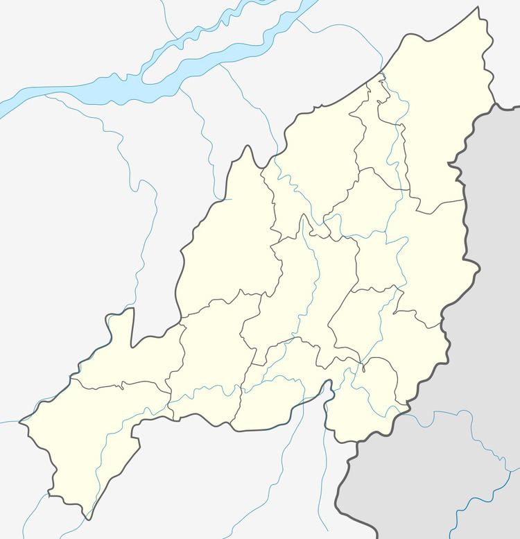
- Map of Ngwalwa Nagaland 797106
- Early History of Ngwalwa
- Location
- Demographics
- Culture and Religion
- References
Map of Ngwalwa, Nagaland 797106
Early History of Ngwalwa
The early history of Ngwalwa is traced back to Gaili Namdi, a very big village with more than thousand households. The reason behind the formation of the new village, Ngwalwa, was due to the strict observation of traditional and customary laws that binds the people of the village, and henceforth, making the livelihood hard and complicated. Ngwalwa was previously known as Leigwaklwa, the range of Pine trees.
Ngwalwa Village was formed by a man named Haung (Haume) with the traditions and customary laws of Gaili Namdi. And after the formation of Ngwalwa Village; Gaili Namdi was disbanded or deserted by the villagers and scattered out to settle in different places as they could not live together peacefully due to disunity, fights and killings between the clans in Gaili Namdi. According to myth it is said that Gaili Namdi was disbanded and deserted seven times. The deserted land of Gaili Namdi was then occupied and looked after by the Ngwalwa Village as the sole land owner.
During the break-out of Gaili Namdi, the villagers of Ngwalwa met Mr. Haikube, while on his way to settle out in a different place with his herd of cattle. The people of Ngwalwa approached him to settle in Ngwalwa Village for traditional and customary practices. In around 1833, Mr. Haikube was allowed to go back and formed Gaili Village under the customary law of Ngwalwa Village. So till the present day Gaili village seeks the blessing of Ngwalwa for their traditional and customary practices.
Location
Ngwalwa shares its land boundary with the following villages Ndunglwa, Mhaidungki, Pedi, Benreu, Gaili of Peren district and Ruzaphema of Dimapur district. The present Ngwalwa Village is a gateway for many Zeliangrong villages. It is 18 km away from Jalukie Town, 40 km from the commercial town Dimapur and around 70 km from the state capital Kohima.
Demographics
Apart from the original inhabitants the people permanently residing in Ngwalwa are influx mostly from Zeme villages like Benreu, Poilwa and Ze, plus a small number of Tenyimi tribes.
According to the 2011 census of India, Ngwalwa Village has 1020 people in 289 households (excluding Ngwalwa Town and Heningkunglwa Village, in Ngwalwa). The effective literacy rate (i.e. the literacy rate of population excluding children aged 6 and below) is 80.41%.
Culture and Religion
The British and the Indian Officers addressed the people of Ngwalwa as Golomi in their written records. The people of Ngwalwa are hill people depending basically on cultivation and livestock-rearing. According to myth, they are brave, courageous and powerful warriors. It is believed that they caught the tiger alive, stopped the jungle wildfires and floods with their mighty strength. Jenliang is a very famous man in the history of Ngwalwa and till this day there’s a place named after him.
The people of Ngwalwa recently adopted Christianity. They are mostly of Baptist denomination and a minute of Christian revival, Pentecostal denominations. Ikielung Dwaswang is the first pastor of Ngwalwa Baptist Church.