
OS grid reference SO642694 Post town TENBURY WELLS Local time Sunday 10:48 AM | Sovereign state United Kingdom Postcode district WR15 Civil parish Knighton-upon-Teme | |
 | ||
Weather 10°C, Wind NE at 18 km/h, 69% Humidity | ||
Newnham Bridge is a village in the parish of Knighton on Teme, near Tenbury Wells, Worcestershire, England, United Kingdom.
Contents
Map of Newnham Bridge, Tenbury Wells, UK
The village derives part of its name from the bridge over the River Rea.
Location
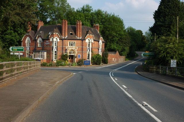
Newnham Bridge is situated on the A443 road and the junction of the A456 road between Tenbury Wells and Great Witley, in the valley of the River Teme.
History and amenities
The village formerly had a railway station, designed by William Clarke, on the Tenbury Line from Bewdley to Woofferton Junction. After the railway closed in the 1960s the station became a garden centre. This has now closed, but the platforms and buildings are still in place. The neighbouring station yard was recently developed as a housing estate and the station site has been bought by a housing association. The name of the station was Newnham Bridge rather than Newnham to avoid confusion with Newnham, Gloucestershire, which also had a GWR station; previously the village was known as Newnham and some maps still show it as such. The Talbot Inn closed in 2009 but reopened in 2012 after a year-long refurbishment. As of 2016 it has been taken over and is now gaining an exceptional reputation, Head chef Jacob Vaughan has updated the standard with his seasonal modern british cuisine, the other pub in the village, The Tavern, closed some years earlier.