
OS grid reference TQ835275 Sovereign state United Kingdom Local time Sunday 9:08 AM UK parliament constituency Ashford | Civil parish Newenden Area 4.23 km² Dialling code 01797 | |
 | ||
Population 223 (Civil Parish 2011) Weather 9°C, Wind NE at 19 km/h, 79% Humidity | ||
The oast newenden
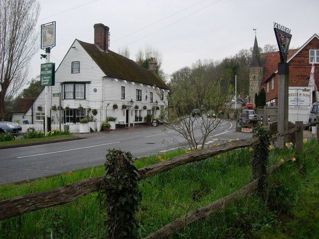
Newenden is a small village and civil parish in area and population in the Ashford District of Kent, England.
Contents
Map of Newenden, UK
Geography
The village is clustered together along the south slope and at the foot of the end of a tall escarpment by the River Rother, six miles (6.4 km) south-west of Tenterden on the A28. Newenden is located immediately north of the Rother which forms the county boundary with East Sussex.The humpback bridge of 1736 has recently been repaired. As the land at the very edge of the parish and lowest points is marshy, the narrow hill escarpment itself is known locally as Frogs Hill.
History
Lossenham Friary was established northeast of the village in around 1242 but it was burnt down in 1275 and no remains are visible.
On Thursday, 10 March 1300 (Julian calendar), wardrobe accounts of King Edward I of England include a reference to a game called "creag" being played at Newenden by Prince Edward (the future Prince of Wales), then aged 15. Although the word "creag" is probably a variation of "craic", a Gaelic word which was part of Middle English and means "fun and games in general", it has been suggested that creag was an early form of cricket. There is, however, no evidence to support that view and "creag" was probably something quite different, like craic.
Amenities
The ancient parish church is dedicated to Saint Peter; it was restored in 1859. A large pub is marked in maps next to the river.