Population 349 (2006 census) Elevation 6 m | Postcode(s) 2302 Area 84 ha Postal code 2302 Parish Newcastle | |
 | ||
Location 0 km (0 mi) W of Newcastle | ||
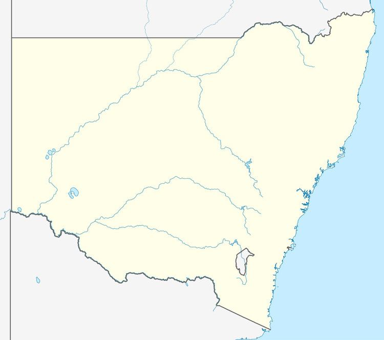
Newcastle West is an inner city suburb of Newcastle, New South Wales, Australia, part of which forms the western end of Newcastle's central business district. The suburb is primarily a retail/commercial trading district but includes one high school.
Contents
Map of Newcastle West NSW 2302, Australia
At the 2006 census Newcastle West had a population of 349.
Education
Newcastle High School, located at the intersection of National Park Street and Parkway Avenue, is a state run high school that has an enrolment of approximately 1,000 students.
References
Newcastle West, New South Wales Wikipedia(Text) CC BY-SA
