
Country United States County Iron Time zone Mountain (MST) (UTC-7) Elevation 1,608 m Population 247 (2010) Area code 435 | Newcastle 1910 GNIS feature ID 2629952 Zip code 84756 Local time Sunday 1:37 AM | |
 | ||
Weather 1°C, Wind E at 5 km/h, 100% Humidity | ||
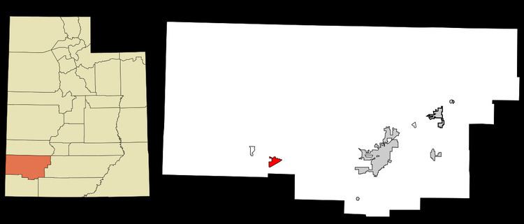
Newcastle (also New Castle) is a census-designated place in southwestern Iron County, Utah, United States. It lies along State Route 56 southwest of the city of Parowan, the county seat of Iron County. Its elevation is 5,312 feet (1,619 m). Although Newcastle is unincorporated, it has a post office, with the ZIP code of 84756. The population was 247 at the 2010 census. Newcastle was founded in 1910 by citizens of the more isolated Pinto.
Contents
Map of Newcastle, UT 84756, USA
The predominant religion is The Church of Jesus Christ of Latter-day Saints, which church's members settled the area.
Newcastle is a small farming community which has a dairy, orchard, greenhouses producing house plants and tomatoes, and several fields. Crops produced include wheat, oats, alfalfa, corn and potatoes.
Demographics
The 2010 census reported 247 people and 92 housing units in the CDP. The 2010 census reported racial makeup was 88.7% White, 0.4% American Indian and Alaska Native, and 10.9% other races. Hispanic or Latino heritage comprised 19.0% of the population.
Climate
According to the Köppen Climate Classification system, Newcastle has a semi-arid climate, abbreviated "BSk" on climate maps.