
- elevation 161 ft (49 m) - min 14 cu ft/s (0.4 m/s) Discharge 14.16 m³/s Basin area 448.1 km² | - average 500 cu ft/s (14.2 m/s) Length 18 km Basin area 448.1 km² | |
 | ||
- max 10,200 cu ft/s (288.8 m/s) | ||
The Newaukum River is a tributary of the Chehalis River in the U.S. state of Washington. It has three main branches, the North Fork, South Fork, and Middle Fork Newaukum Rivers. The length of the three forks and the mainstem river is 56.7 miles (91.2 km).
Contents
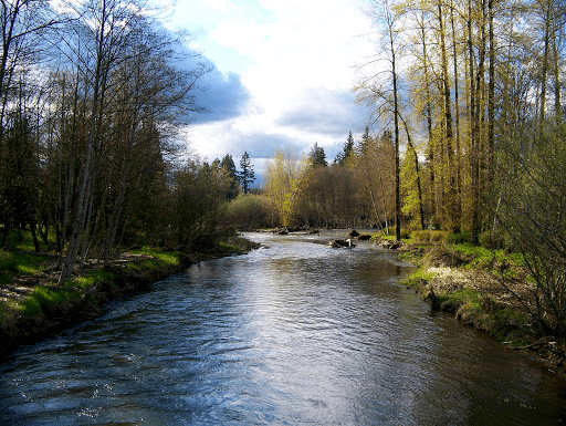
- Map of Newaukum River Washington USA
- MainstemEdit
- South ForkEdit
- North ForkEdit
- Middle ForkEdit
- Natural historyEdit
- References
Map of Newaukum River, Washington, USA
The river's name comes from the Upper Chehalis word náwaqwəm, meaning "big prairie".
MainstemEdit
Formed by the confluence of the North and South Forks in Newaukum Prairie, the mainstem Newaukum River flows generally west and north. After 10.9 miles (17.5 km), near the city of Chehalis, the Newaukum River empties into the Chehalis River, at Chehalis river mile 75.2.
South ForkEdit
The South Fork Newaukum River originates at Newaukum Lake in the Cascade Range, at 46.666494°N 122.475947°W / 46.666494; -122.475947 (South Fork Newaukum River source). It flows generally west. It exits the mountains and enters broad valleys and prairie lands, flowing by the community of Onalaska. The river turns north in Newaukum Prairie and joins the North Fork to form the mainstem Newaukum River.
North ForkEdit
The North Fork Newaukum River originates in the Cascade Range at 46.707326°N 122.587617°W / 46.707326; -122.587617 (North Fork Newaukum River source). It flows generally west for approximately 19 miles (31 km) miles, entering a broad valley near its confluence with Mitchell Creek, after which it flows south and southwest. In Newaukum Prairie it is joined by the Middle Fork Newaukum River. Shortly below the Middle Fork confluence the North Fork joins the South Fork to form the mainstem Newaukum River.
The cities of Chehalis and Centralia divert part of the North Fork's waters for municipal use at river mile 12.5
Middle ForkEdit
The Middle Fork Newaukum River, the shortest of the three forks, originates at 46.634549°N 122.654006°W / 46.634549; -122.654006 (Middle Fork Newaukum River source). It flows southwest into Alpha Prairie. It turns west and flows through hillier terrain before entering the Newaukum Prairie and emptying into the North Fork Newaukum River.
Natural historyEdit
The mainstem river and some of its forks and tributaries support both spring and fall Chinook salmon, Coho salmon, and other fish.