
Width 30 km (19 mi) Population 17,160 (2000) Elevation 900 m Max length 60 km | Highest elevation 900 m (3,000 ft) LLG Lavongai Rural LLG Pop. density 15.4 /km (39.9 /sq mi) Area 1,186 km² | |
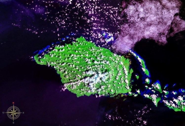 | ||
New Hanover Island, (German: Neuhannover), also called Lavongai, is a large volcanic island in the New Ireland Province. This region is part of the Bismarck Archipelago of Papua New Guinea and lies at 2.5°S 150.25°E / -2.5; 150.25. Measuring some 460 square miles (1,200 km2), it had a population of 5,000 in 1960, which increased to approximately 17,160 by 2000.
Contents
Map of New Hanover, Papua New Guinea
Culture
Friedrich Ratzel in The History of Mankind reported in 1896, when discussing Melanesain ornament, that there were luxurious feather ornament displays in New Hanover, showing much taste in the combination of forms and colours with vegetable fibres and beads on sticks. An example was a delicately formed face in feather-mosaic forming the head of a hairpin.
References
New Hanover Island Wikipedia(Text) CC BY-SA