
London borough Greenwich Region London Sovereign state United Kingdom Dialling code 020 | Ceremonial county Greater London Country England Postcode district SE7 Post town London | |
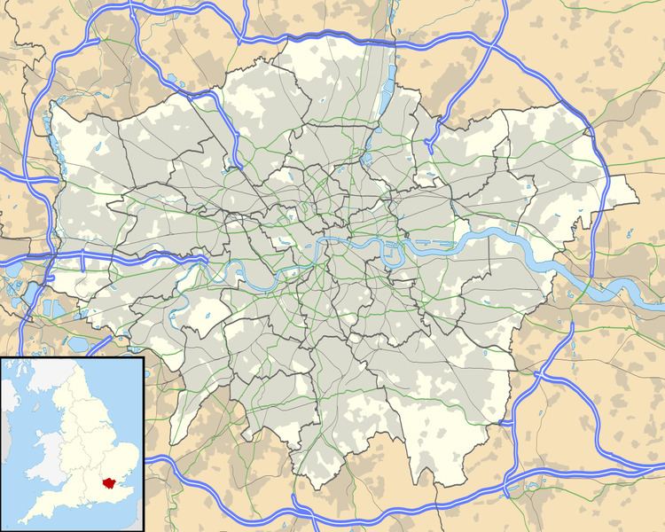 | ||
New Charlton is the area along the south bank of the River Thames at Charlton, London, which forms part of the Royal Borough of Greenwich. It was formerly a primarily industrial zone, known for the glass and rope making industries, but is now an area of regeneration known as Charlton Riverside.
Contents
Map of New Charlton, London, UK
History
Industrial development on the flat land adjoining the Thames at New Charlton began in the middle of the 19th century, especially after the opening of a private railway branch line to Angerstein Wharf in 1852. A notable establishment was the Siemens Brothers Telegraph Works opened in 1863, which manufactured two new transatlantic cables in the 1880s, and contributed to the PLUTO project in World War II. Since the 1960s the area had sunk into industrial decline, with most of the original factories closing.
Geography
There have been several regeneration projects, starting in the late 1990s. These are mostly retail warehouses, supermarkets, and retail shopping centres. The sole remaining major industrial facility is the Cemex construction aggregate and ready mix cement works at Angerstein Wharf on the Thames at the border of the Greenwich Peninsula and Charlton.
The southern end of the Thames Flood Barrier is at New Charlton. Royal Greenwich UTC opened in September 2013.
Regeneration of the area is now focused on the Charlton Riverside Masterplan agreed by the Royal Borough of Greenwich in April 2012. Approved developments thus far include a new Sainsbury's and Marks & Spencer development between Bugsby's Way and Woolwich Road.