
Local time Wednesday 5:03 PM | Province New Brunswick | |
 | ||
Weather 7°C, Wind S at 21 km/h, 98% Humidity | ||
See Also Coles Island Road
Contents
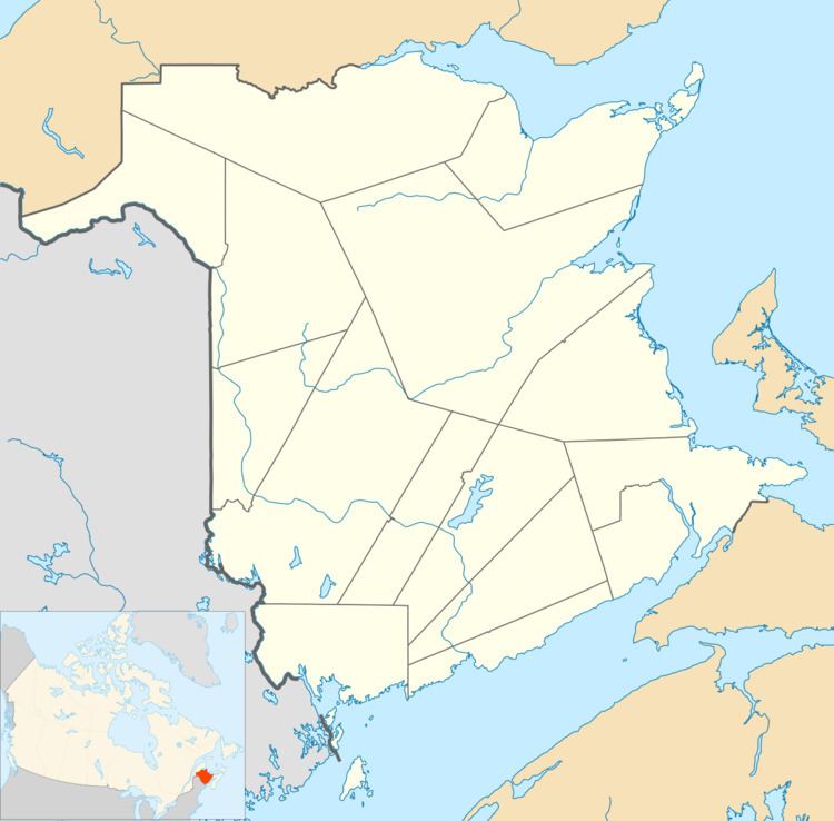
Map of Coles Island, NB, Canada
Coles Island is a settlement and an island in New Brunswick. The island itself is located in the Canaan River. The community is centered on Route 10, Route 715, and Route 112 intersection and extends south of the island as well.
History
The community is named after David Cole who was a Loyalist settler in the area. By 1898 Coles Island had a post office, two stores, a hotel, a sawmill, a church and a population of 100.
References
Coles Island, New Brunswick Wikipedia(Text) CC BY-SA