
Existed: 1976 – present Length 16.89 km | Constructed 1976 | |
 | ||
South end: SR 264 near Fish Lake Valley | ||
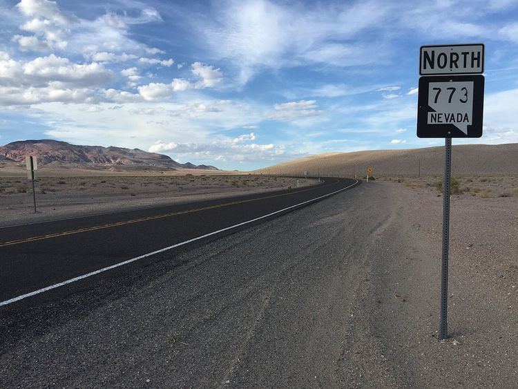
State Route 773 (SR 773) is a 10.496-mile (16.892 km) state highway in Esmeralda County, Nevada, United States. Known as Fish Lake Valley Road, the highway was a part of former State Route 3A.
Contents
Map of NV-773, Dyer, NV 89010, USA
Route description
SR 773 begins at a junction with State Route 264 north of Fish Lake Valley. The route follows Fish Lake Valley Road northeast to its terminus at U.S. Route 6 (US 6) about 6 miles (9.7 km) west of Coaldale.
History
The highway originally composed the northern 10 miles (16 km) of State Route 3A, a route christened in 1933 to connect State Route 15 (now US 6) to Fish Lake Valley and Dyer. SR 3A was replaced by State Route 773 and State Route 264 on July 1, 1976. SR 773 did not appear on state highway maps until 1991.
Major intersections
Mileposts on the highway are a continuation of State Route 264 mileposts. The entire route is in Esmeralda County.