
Country United States FIPS code 32-20700 Elevation 1,487 m Population 259 (2010) Number of airports 1 | Time zone Pacific (PST) (UTC-8) GNIS feature ID 859604 Zip code 89010 Local time Wednesday 6:01 AM | |
 | ||
Weather -2°C, Wind NW at 8 km/h, 81% Humidity Area 84.43 km² (84.17 km² Land / 21 ha Water) | ||
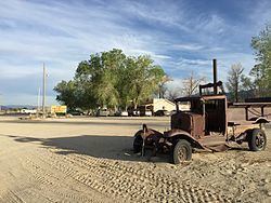
Dyer is an unincorporated community and census-designated place (CDP) in Fish Lake Valley, Esmeralda County, Nevada, United States. It had a population of 259 as of the 2010 census. The town serves the surrounding area's sparse rural population of mainly ranchers and indigenous Paiute people. The town has a gas station/store, cafe, post office and airport.
Contents
Map of Dyer, NV 89010, USA
Dyer is located on State Route 264, near Nevada's border with California. It is 25 miles (40 km) south of U.S. Route 6 and 15 miles (24 km) north of Oasis, California.
Climate
The Köppen Climate System classifies the weather in this area as semi-arid, abbreviated BSk. This climate type occurs primarily on the periphery of true deserts in low-latitude semiarid steppe regions.
References
Dyer, Nevada Wikipedia(Text) CC BY-SA