
Existed: 1976 – present Constructed 1976 | Length 19.05 km | |
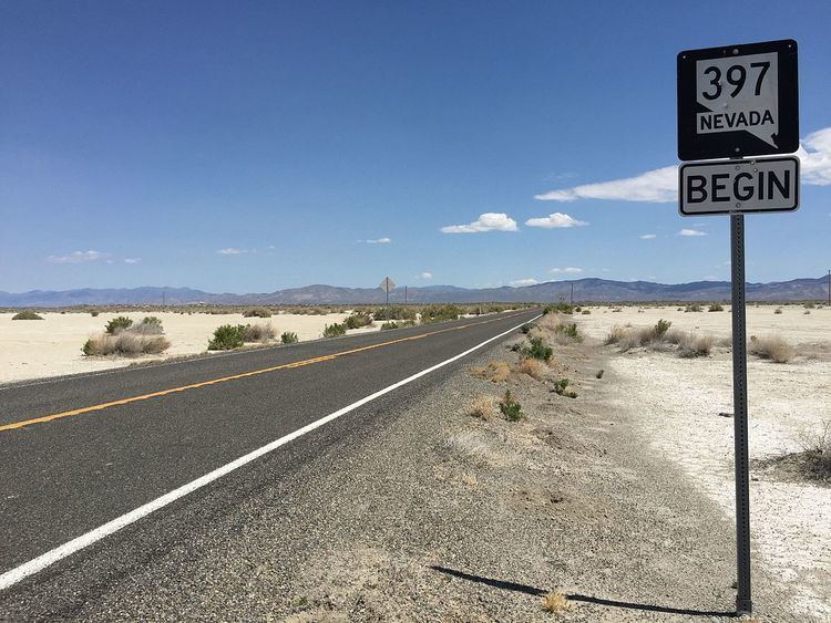 | ||
History: Created as SR 59 by 1937 South end: SR 860 near Derby Field | ||
State Route 397 (SR 397) is a state highway in the U.S. state of Nevada. It runs from State Route 860 near Derby Field east on Westergard Road and north on Meridian Road into Lovelock. After passing under Interstate 80/U.S. Route 95, it turns northeast on Amherst Avenue and ends at State Route 398, two blocks southeast of State Route 396 (old U.S. Route 40).
Contents
Map of NV-397, Lovelock, NV 89419, USA
History
Until the 1976 renumbering, most of SR 397 was State Route 59, defined by 1937. At one point, SR 397 only used Westergard Road east of Westfall Road, turning north there to return to I-80/US 95 at Perth. Later, possibly when SR 860 was added, Westfall Road was dropped and SR 397 was extended west to meet SR 860.
Major intersections
The entire route is in Pershing County.
References
Nevada State Route 397 Wikipedia(Text) CC BY-SA