
Existed: 1976 – present Constructed 1976 | Length 101.2 km | |
 | ||
State Route 361 (SR 361) is a 62.853-mile (101.152 km) state highway in central Nevada, United States. The highway serves the town of Gabbs following Gabbs Valley Road through the extreme northwestern tip of Nye County. Gabbs is isolated from the rest of the County, requiring travel on SR 361 through other counties in order to reach any other major town in Nye County. SR 361 was previously known as State Route 23.
Contents
Map of NV-361, Nevada, USA
Route description
State Route 361 in Mineral County at a junction with U.S. Route 95 approximately 1.0 mile (1.6 km) northwest of Luning. From there, the highway heads north towards the mountains of the Gabbs Valley Range. The route curves sharply east to climb up to Calavada Summit (elevation 6,254 feet (1,906 m)), and then turns northward again to pass over Petrified Summit (elevation 6,145 feet (1,873 m)) before leaving the mountain range. Route 361 then heads northeast, entering Gabbs Valley and Nye County as it approaches the town of Gabbs.
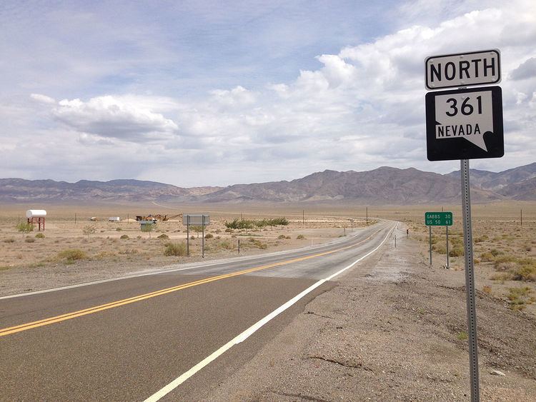
As the highway heads out of Gabbs it intersects State Route 844, providing access to Ione and Berlin-Ichthyosaur State Park via the Humboldt-Toiyabe National Forest. SR 361 continues north from here, reentering Mineral County briefly before entering Churchill County. The route comes to an end at an intersection with U.S. Route 50 at Middlegate.
History
The general routing of present-day SR 361 first appeared on state highway maps in 1929 as an unpaved road, State Route 23. By 1939, the portion of the route in Mineral and Nye Counties had been realigned further east. The final alignment of SR 23, shown as a paved highway, was in place by 1946.
The route remained relatively unchanged until the 1976 renumbering of Nevada's highway system. On July 1, the SR 23 designation was replaced by State Route 361. This change was first seen on the 1978–79 edition of the official highway map.