
Topo map USGS Mount Ferguson Country United States of America | Elevation 2,209 m | |
 | ||
Similar Humboldt Range, Kawich Range, Desatoya Mountains, Pah Rah Range, Jackson Mountains | ||
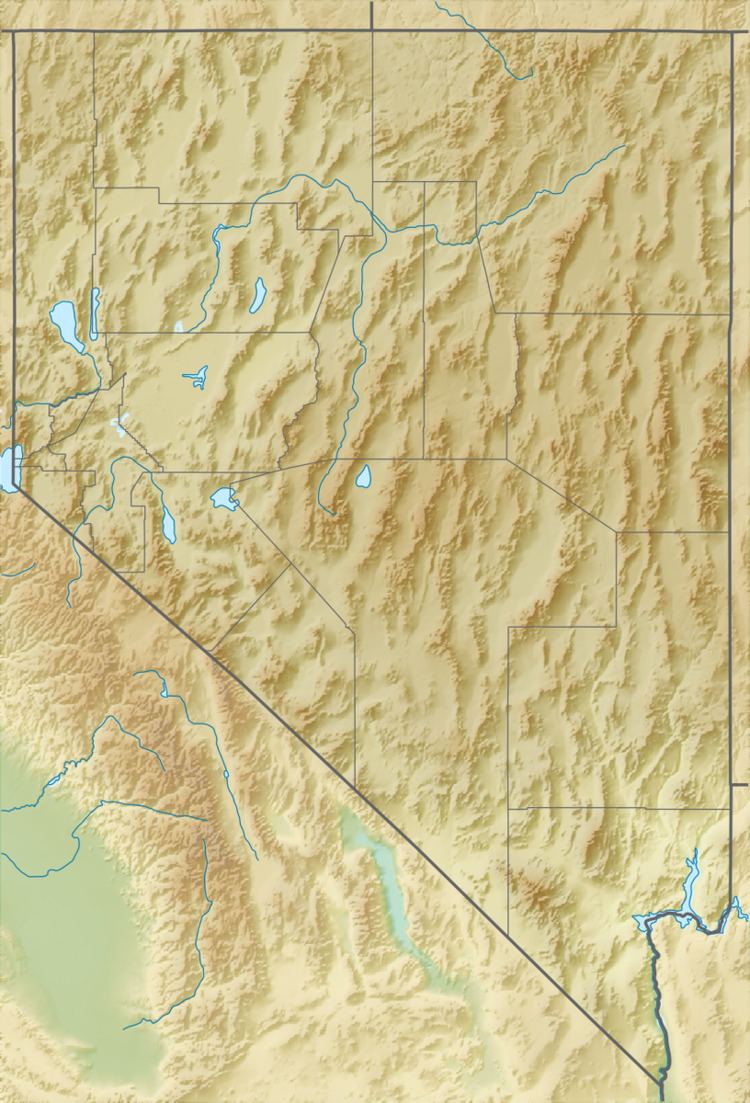
The Gabbs Valley Range is a mountain range in the west of the central Nevada desert in the Great Basin region. The range is within Mineral County, Nevada.
Contents
Map of Gabbs Valley Range, Nevada 89409, USA
Gabbs WatershedEdit
The Gabbs Watershed (USGS Huc 16060002) is a 2,060 sq mi (5,300 km2) area that includes the Gabbs Valley and the slopes of the perimeter Great Basin mountain ranges within the watersheds' drainage divides, e.g., of the Gabbs Valley Range.
References
Gabbs Valley Range Wikipedia(Text) CC BY-SA