
Existed: 1976 – present Constructed 1976 | Length 1.74 km Major cities Yerington | |
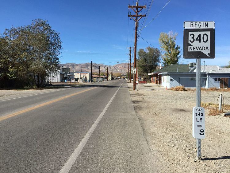 | ||
State Route 340 (SR 340) is a short state highway in Lyon County, Nevada. The route covers a portion of Bridge Street in the city of Yerington.
Contents
Route description
SR 340 begins at the intersection of Bridge Street and State Route 339 just west of the city limits and east of Yerington Mine. From there, the highway heads east on Bridge Street, immediately crossing over the Walker River. The route passes through farm areas and just north of the Yerington Paiute Indian Colony as it heads into more populated areas of the city. SR 340 travels a little over 1 mile (1.6 km) on Bridge Street before the designation ends at the junction of Main Street (State Route 208).
History
State Route 340 was established on July 1, 1976.
Major intersections
The entire route is in Lyon County.
References
Nevada State Route 340 Wikipedia(Text) CC BY-SA