
Existed: 1976 – present Constructed 1976 | Length 38.61 km | |
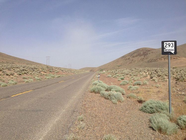 | ||
State Route 293 (SR 293) is a state highway in Humboldt County, Nevada. It connects the Kings River Valley to U.S. Route 95 at the town of Orovada.
Contents
Map of NV-293, Winnemucca, NV 89445, USA
Route description
SR 293 begins at a Nevada Department of Transportation monument in the north-central portion of Humboldt County, just a few miles east of the Kings River. From there, the route heads east through a mountain pass and then southward. After crossing the Quinn River, SR 293 heads eastward through the Quinn River Valley to its terminus at US 95 at the town of Orovada.
History
The road first appears on official state maps 1968, although it was not labeled as being part of Nevada's numbered highway system at that time. The highway was fully paved by 1971, but still had no route number on the state map. Interestingly, the entire road was removed from state highway maps entirely beginning with the 1973 edition. Despite this, the highway officially became State Route 293 on July 1, 1976, when Nevada officials began renumbering the state's numbered routes. The road returned to the state highway map, complete with the SR 293 designation, in the 1982 edition.
Major intersections
The entire route is in Humboldt County.