
Country United States FIPS code 32-53000 Population 155 (2010) | Time zone Pacific (PST) (UTC-8) Area 117.3 km² Local time Sunday 7:42 PM | |
 | ||
Weather 8°C, Wind S at 13 km/h, 57% Humidity | ||
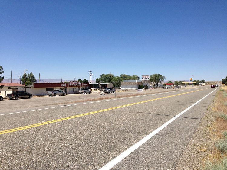
Orovada is a census-designated place in Humboldt County, Nevada. The population was 155 at the 2010 census.
Contents
Map of Orovada, Winnemucca, NV 89425, USA
Rodeo announcer Bob Tallman lived on a ranch near Orovada during his early childhood.
Education
The Humboldt County School District operates schools serving areas with Orovada addresses. Some areas are zoned to Orovada School, a K-8 school. Other areas are zoned to Kings River School, a K-8 school.
Geography
According to the United States Census Bureau, the Orovada CDP has an area of 45.3 square miles (117.3 km2), all land. U.S. Route 95 runs through the CDP, leading south 43 miles (69 km) to Winnemucca and north 30 miles (48 km) to the Oregon state line at McDermitt.
References
Orovada, Nevada Wikipedia(Text) CC BY-SA